What is recorded here
Marked on the 1839 and 1924 eds of the OS 6-inch map, and described as ‘Castle Well’ in both. It is situated at the bottom of the E-facing slope of an esker and c. 120m from the sea-shore to the SE. It is not visible at ground level in reclaimed pasture.
Compiled by: Michael Moore
Date of upload: 4 September, 2012
The monument record does not grant public access. Check the route and ask the landowner before entering private land.
- What survives
- Recorded monument
Places near here
 Site of Ballinesker CastleHouse, 17th century · 72 yd
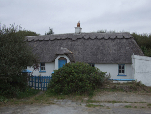 The Duneshouse · 119 yd
 Ballinesker BeachBeach / strand · 185 yd
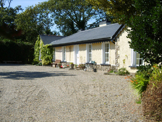 Seaview Cottagehouse · 295 yd
 St. Margarets WellHoly well · 1278 yd
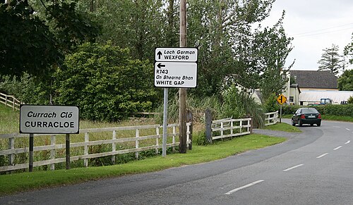 Curracloe BeachBeach / strand · 1.0 mi
 71Mountain / peak · 2.4 mi
 CastleCastle, motte · 2.4 mi
 Raven Point Nature ReserveForest · 2.5 mi
 Blackwater Coastal Erosion Monitoring PointViewpoint · 2.7 mi
 1798 MemorialMemorial · 2.8 mi
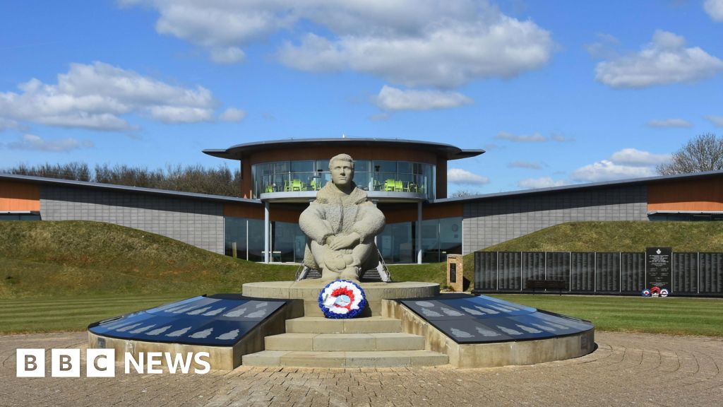 Memorial to The PomonaMemorial · 3.3 mi