What is recorded here
One Saggart castle keeps its location hidden while two others stood in repair beside a ruined stump during the Down Survey. The vicars choral of St. Patrick's held one castle and twenty-two acres there in 1547, scattering ownership across different parcels. That much is written; the rest belongs to the field, where a forgotten tower may still hold its shape under grass or soil.
The precise location of one of three castles (DU021-034010-/011-) in Saggart mentioned in the 1654-56 Civil Survey of Dublin (Simington 1945, 290) has not been identified. An inquisition of 1547 shows that the vicars choral of St. Patrick's had one castle and 22a. in this townland, lying in different parcels' (D'Alton 1838, 723).
The Down Survey map of Newcastle Barony shows the settlement (DU021-034----) at Saggart clustered around two castles (DU021-034010-/014-) depicted as tower house type structures and a third ruinous castle annotated 'stump of a Castle' (DU021-034011- ) (Hibernia Reg.). The terrier of the Down Survey map of Saggart Parish recorded that in Saggart there are 'two Castles in repaire and one Stump of a Castle with some Thatcht Houses and Cabbins' (NLI Ms. 714).
NLI, Ms. 714 National Library of Ireland, The parish maps of the Down Survey for the County of Dublin by W. Petty (1657). Copied by Daniel O'Brien. A set of 42 maps with accompanying terriers, copied in 1786-7.
See attached Down Survey map of Newcastle Barony courtesy of The Library of Trinity College Dublin
Compiled by: Caimin O'Brien
Date of upload: 26 March 2023
The monument record does not grant public access. Check the route and ask the landowner before entering private land.
- What survives
- Recorded monument
Places near here
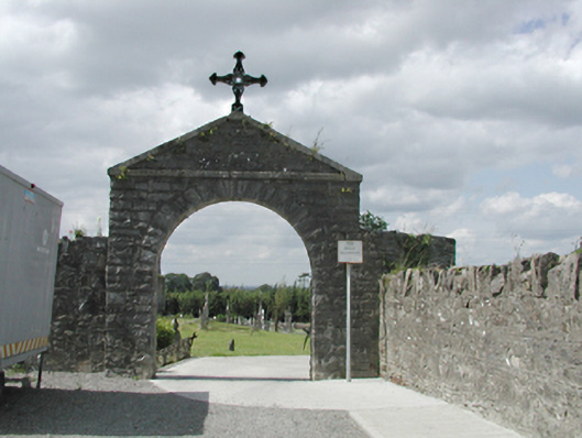 graveyard/cemeterygraveyard/cemetery · 20 yd
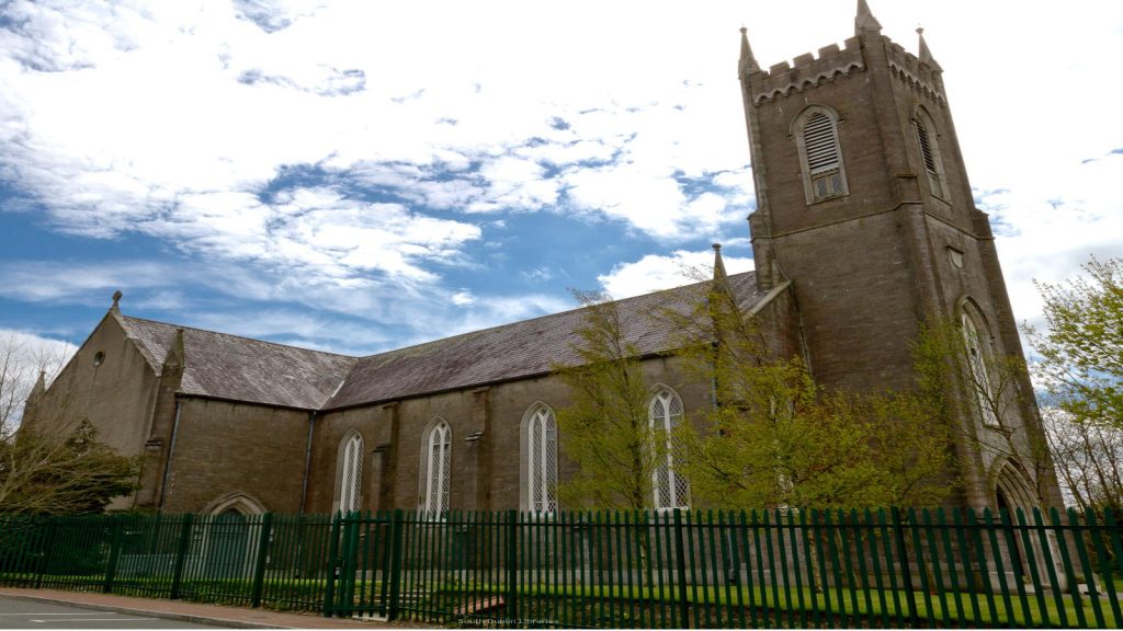 Church in SaggartChurch · 32 yd
 Font (present location) in SaggartFont (present location) · 163 yd
 Fulacht fia in Moneyatta CommonsFulacht fia · 311 yd
 CastleCastle, tower house · 386 yd
 Meadow WildlifeVisitor information · 873 yd
 Rathcoole WoodlandWood · 1372 yd
 Inniscara GalleryGallery · 1.2 mi
 Verschoyle's HillMountain / peak · 1.4 mi
 Early Stadium DesignHeritage attraction · 1.6 mi
 Bawn in CheeverstownBawn · 2.0 mi
 Fairy WoodWood · 2.3 mi