What is recorded here
Castle stands unclassified in Robinstown, County Longford, depicted only in the northern part of the townland on an early 17th-century map. It appeared again in a 1612 land grant to Sir Francis Shane, yet no exact spot has ever been identified. The castle may still hide beneath grass or soil, waiting for someone to stop searching for facts and begin listening for shape.
Depicted in the N part of the townland on an early 17th-century map of Granard barony (BL, Cotton MS Augustus I.i.47) and referred to in a land grant to Sir Francis Shane in 1612 (Cal. pat. rolls Ire., Jas I, 245). Its precise location has not been identified.
Compiled by: Caimin O'Brien
Date of upload: 5 November 2012
Built or held by Sir Francis Shane, granted in 1612 by James I, the castle is remembered as evidence of early 17th-century English colonial activity in Ireland.
The monument record does not grant public access. Check the route and ask the landowner before entering private land.
- What survives
- Recorded monument
Places near here
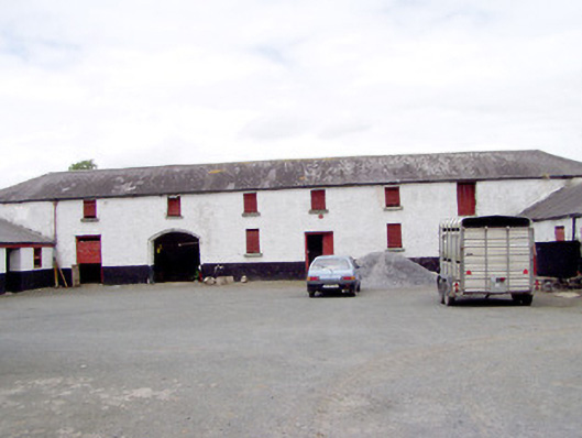 Toneen Lodgeoutbuilding · 906 yd
 Church in KilbrideChurch · 1050 yd
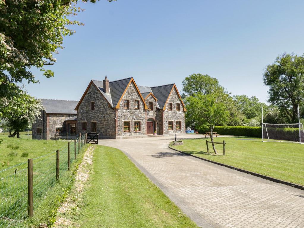 ToberreendoneyHoly well · 1102 yd
 IndicatedEnclosure · 1221 yd
 Bakers FortCastle, ringwork · 1.6 mi
 Moat of GranardCastle, motte and bailey · 1.7 mi
 1798 Monumentmonument · 1.7 mi
 Granard MotteMotte-and-bailey castle remains · 1.7 mi
 CartronfreeMountain / peak · 3.7 mi
 CarrickabaneMountain / peak · 3.9 mi
 Watty's RocksIslet · 4.3 mi
 Carrick RockWood · 4.5 mi