What is recorded here
Ballyvollane Castle stood on the north bank of the Mulkear River in the townland of Rivers, holding an orchard and mill beside a plowland of land. Burke, Arthur and Creagh families passed it through the sixteenth and seventeenth centuries, while Mahon mcKeogh still worked its fields when the Civil Survey measured it in 1655. The Down Survey drew its walls above the water, but no marker now shows the exact spot where those rooms rose.
The precise location of Ballyvollane Castle within the townland has not been identified. Castle described by Westropp (1906-7, 85) as following; 'In Mountshannon demesne. 1540 The sliocht Edmond mac William Burke held Béal atha an mhuillin (Rental). 1586 C[astle]. Ballenvollin, by W. Bourke (Des. R. 37); 1623, by T. Arthur (Inq. Chan. 17a), 1627 The daughters of Pierce Creagh held in fee the C[astle]. of Biallaghmvolin (Ib.). 1655 Ballyweylan C[astle], in Stradbally, Orchard, &c, by W. Lord Castleconnell (C.S. xxix. 3) Clehduph or Ballyvillan, Stradbally (D.S.A. 3). Ballywillin Clondenyagh, with C[astle]. (D.S.A. 1)'. The 1654-56 Civil Survey of Limerick recorded that Mahon mcKeogh of Cloneclieffe [Cluain Cliabh] held in Cluain Cliabh and Ballyvollane an 'one plowland having on it a castle an orchard, and a Mill seate' (Simington 1938, 462).
The 17th century Down Survey barony map of South Liberties (Hib. Reg.) shows the castle standing on the N bank of the Mulkear River which forms the parish boundary with Kilmurry. On this map the castle is shown standing in the present townland of Rivers or Cluain Cliabh.
See attached Down Survey map of South Liberties barony showing Ballyvollane Castle
Compiled by: Caimin O'Brien
Date of upload: 14 January 2020
Ballyvollane Castle was held by the descendants of Edmond mac William Burke in 1540. It is remembered as part of the historical landscape associated with the Burke family in the Mountshannon area.
The monument record does not grant public access. Check the route and ask the landowner before entering private land.
- What survives
- Recorded monument
Places near here
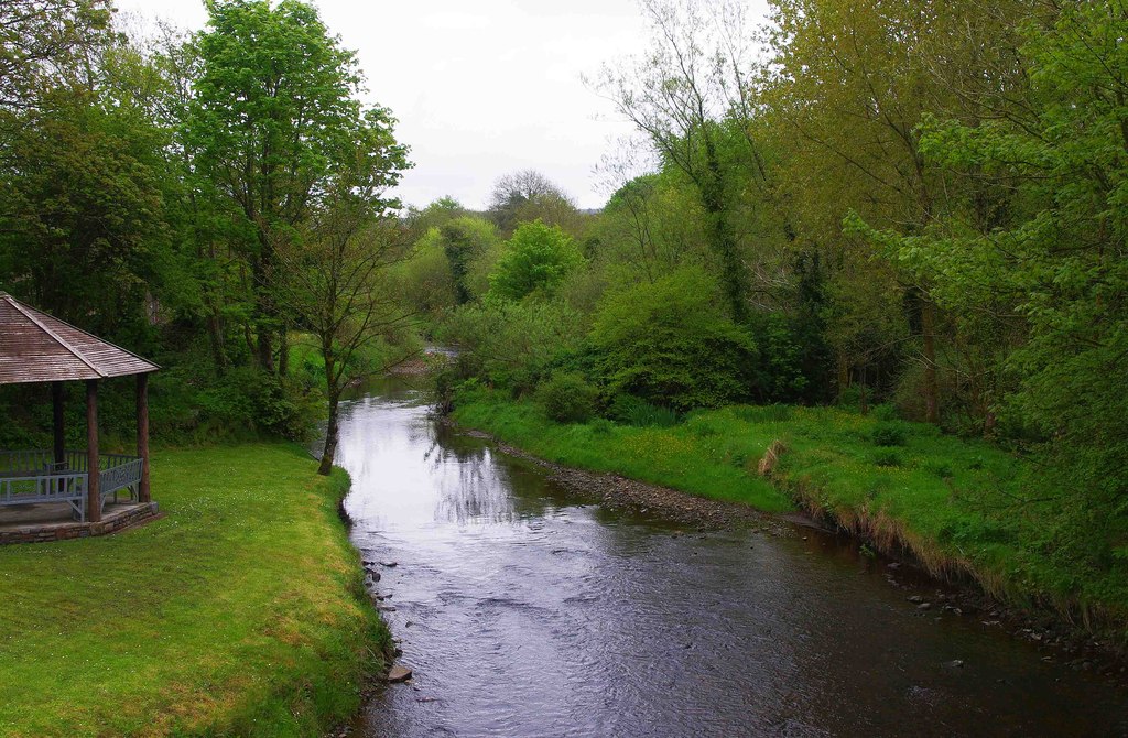 Enclosure in RiversEnclosure · 576 yd
 Jackie PowerMemorial · 632 yd
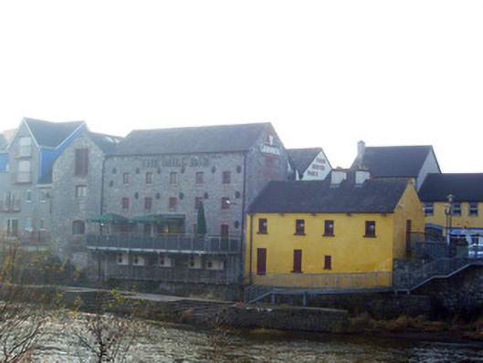 mill (water)mill (water) · 676 yd
 BarrowBarrow, unclassified · 734 yd
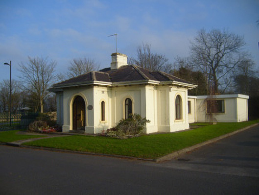 Woodstown Housegate lodge · 742 yd
 Castle Troy (in ruins)Castle, tower house · 1345 yd
 Campus MapVisitor information · 1.5 mi
 Visitor CentreVisitor information · 1.5 mi
 Fountain SculptureHeritage attraction · 1.6 mi
 New CastleCastle · 1.7 mi
 University of Limerick FlagpostsHeritage attraction · 1.7 mi
 Graveyard in AbingtonGraveyard · 5.5 mi