What is recorded here
Rathreagh is a castle that refused to be seen, hidden in plain sight while the Down Survey marked it in 1656. It may have been a ruined tower, a buried courtyard or a house the draftsmen saw from a distance. The land kept its shape long after the name vanished, waiting for someone to walk past the exact stone.
Castle indicated on Down Survey map (1655-56). The precise location of this castle is unknown within the townland of Rathreagh.
Compiled by: Jean Farrelly
Date of upload: 8 February 2016
Built in the 17th century, Castle in Rathreagh is noted on the Down Survey map (1655-56), signifying its role during the English re-conquest and settlement period in Ireland.
The monument record does not grant public access. Check the route and ask the landowner before entering private land.
- What survives
- Recorded monument
Places near here
 Enclosure in RathreaghEnclosure · 740 yd
 IndicatedEnclosure · 793 yd
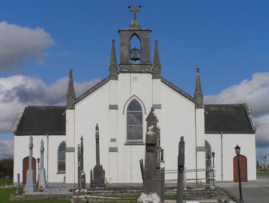 Catholic Church of the Immaculate Conceptionchurch/chapel · 819 yd
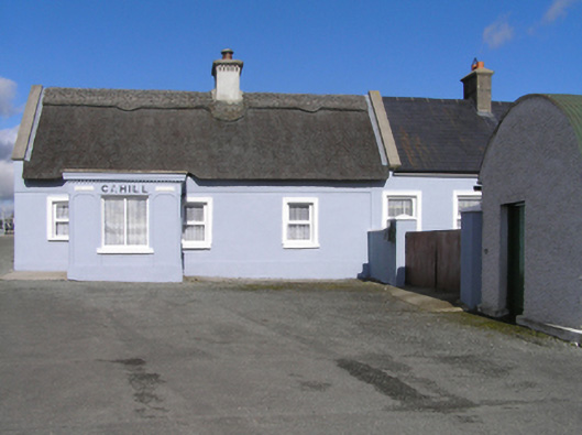 Cahillhouse · 849 yd
 Cnoc SeanrathaMemorial · 1060 yd
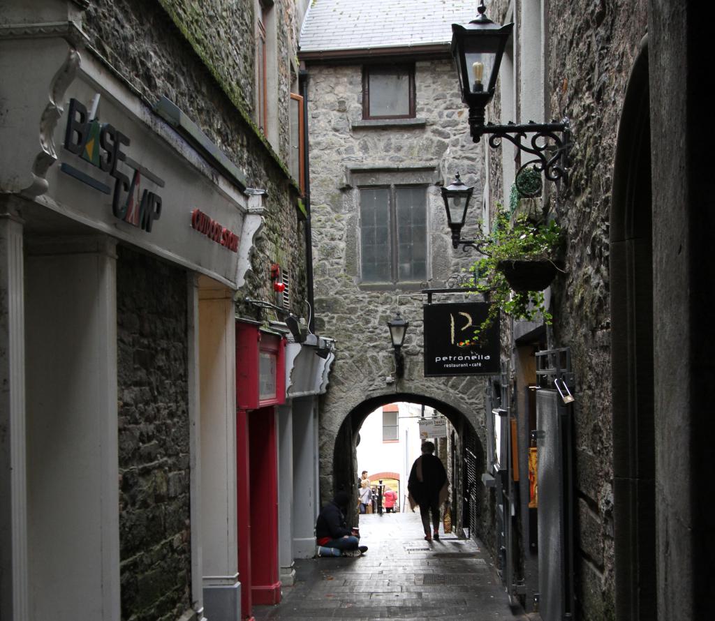 Bawn in WhiteswallBawn · 1.2 mi
 Cody's CastleCastle · 1.3 mi
 Street fieldArchaeological place · 2.6 mi
 DelaneyMemorial · 3.3 mi
 Clomantagh HillMountain / peak · 4.8 mi
 Clonmeen WoodWood · 5.3 mi
 St. Mary's Famine and War MuseumMuseum · 12 mi