What is recorded here
Oulart, Monevollin, Boleboy, Kile and Garryduffe still carry the shape of that lost castle, even though no wall or gate has been identified. Edmond Synnott held the place in 1641, and it was already ruined when surveyed after the wars. The land remembers more of the castle than the castle survives, which is not unusual in Wexford.
According to the Civil Survey (1654-6) a ruined castle at Oulortt together with 660 acres in the townlands of Oulart, Monevollin (Monawilling), Boleboy, Kile, and Garryduffe were the property of Edmond Synnott, and Irish papist, in 1641 (Simington 1953, 51, 78). The location of the castle is not known.
See the attached section from the Down Survey (1656-8) parish map (N at top) reproduced courtesy of the National Library of Ireland (Ms 725)
Compiled by: Michael Moore
Date of upload: 15 June, 2012
Edmond Synnott held a ruined castle at Oulart in the mid-17th century, as recorded in the Civil Survey of 1654–5. Its significance lies in its association with Synnott's landholdings during a period of English administration and land redistribution in Ireland.
The monument record does not grant public access. Check the route and ask the landowner before entering private land.
- What survives
- Recorded monument
Places near here
 IndicatedRoad, road/trackway · 1 yd
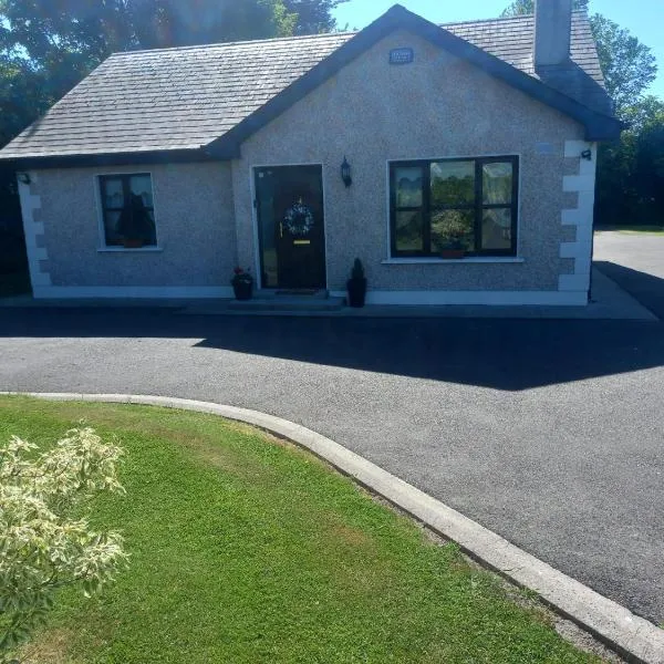 Enclosure in GlenrannyEnclosure · 750 yd
 Enclosure in KnockskemolinEnclosure · 1043 yd
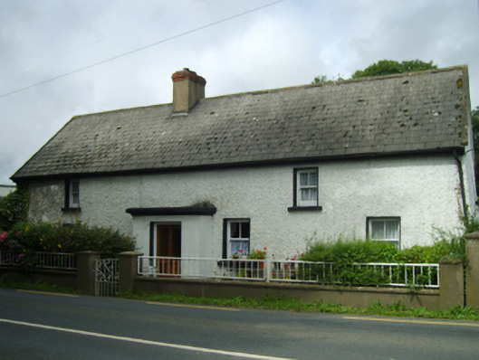 farm housefarm house · 1314 yd
 Oulart HillMountain / peak · 1.2 mi
 Fontainebleau service treeFontainebleau service tree · 1.2 mi
 Kilnamanagh Grave YardArchaeological place · 1.3 mi
 Birds of PreyVisitor information · 1.5 mi
 The HarrowMemorial · 1.5 mi
 Bird BoxesVisitor information · 1.6 mi
 Father Murphy CentreHeritage attraction · 2.1 mi
 Ballingowan MoteCastle, motte · 3.4 mi