What is recorded here
Mullenmeehan castle belonged to Miles Dalton in the early 1400s, but no trace of it remains despite maps marking a building nearby. In 1406 Dalton attacked the castle and killed Miles with a single arrow before taking it. The castle vanished without a mark, leaving only a stream, a road and a field where pride and betrayal once collided.
In the early 15th century the castle of Mullenmeehan was the residence of Miles Dalton. A building depicted on the 1655-59 Down Survey map of Rathconrath barony (NLI, MS 723-4) may be the castle belonging to the Dalton's. In 1406 a war broke out between Miles Dalton and the head of the Dalton clan. The annalists recorded that in this year ‘attacks were made by Dalton on Miles in the castle of Muileann Miadhacháin [Mullenmeehan], and Miles Dalton was killed in the castle by a single arrow-shot, and the castle was captured by Dalton and handed over to Pierce son of Hubert Dalton’ (Ó hInnse 1947, 179). The terrier of the 1656-59 Down Survey map of Ballymore parish lists Richard Dalton an ‘Irish Papist’ as the owner of 255 acres of land in Mullenmeehan and the probable owner of the building depicted on the parish map (NLI, MS 723-4). This structure is depicted as a small gable ended house with central chimney stack on the Down Survey parish map. However the building is depicted more like a tower house type castle on the Down Survey map of Rathconrath barony (ibid.). On the parish map this building is shown standing on the east side of a stream beside a roadway leading to the village of Ballymore. A small square shaped building depicted on the 1837 ed. OS 6-inch map standing 190m NE of a corn mill is located in roughly the same location as the building marked on the Down Survey maps. This building standing to the E of a stream and immediately S of a public road connecting the castle to the village of Ballymore was visited by the ASI in 1983 and described as ‘a relatively modern, 19th century farmyard now occupies this site. The surrounding land is good, level, pasture land. There are no traces of any earthworks etc. in the fields near the farmyard’ (SMR File 08/09/1983). There is no evidence to suggest that the medieval castle of Mullenmeehan was ever located at this farmyard, therefore the original location of this castle remains unlocated within the townland of Mullenmeehan.
Compiled by: Caimin O’Brien
Date of upload: 30 July 2015
Mullenmeehan Castle was held by Miles Dalton in the early 15th century and may be identified with a structure on the 1655–1659 Down Survey map, linking it to the Dalton family's historical presence in the area.
The monument record does not grant public access. Check the route and ask the landowner before entering private land.
- What survives
- Recorded monument
Places near here
 Saint Owen's Rectoryrectory/glebe/vicarage/curate's house · 1116 yd
 OutlinedEnclosure, large enclosure · 1456 yd
 Enclosure in ClonybaneEnclosure · 1532 yd
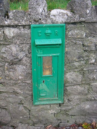 post boxpost box · 1.2 mi
 Plary Monastery (in Ruins)Castle, tower house · 1.4 mi
 Bawn in ClareBawn · 1.6 mi
 Japanese pagoda treeJapanese pagoda tree · 2.5 mi
 KnockastiaMountain / peak · 3.0 mi
 Sam's ParkForest · 3.6 mi
 Dún na Sí Heritage CentreMuseum · 5.2 mi
 Dún na SíMuseum · 5.3 mi
 Noughaval CemeteryArchaeological place · 5.4 mi