What is recorded here
Moyvore Castle vanished before human memory, leaving only a drawing and a deleted name. It may have stood as a tower house with a later kitchen wing, tall chimney punching through the roof like a smoke-stained finger. Garret Fox held it in 1641, yet no stone marker now tells whether he lived there, lost it or never arrived at all. The village keeps the shape of the story while refusing to show the wound.
The precise location of Moyvore Castle has not been identified. Moyore village was visited in 1983 but no remains of any castle was identified at this location. On the 1655-9 Down Survey map of Templepatrick parish the castle is depicted as a tower house type structure with 17th century house added on to side of castle (NLI, MS 723-4). On the Down Survey map a tall chimney stack is depicted rising from the gable of the house which appears to have been built onto one side of the castle. The terrier of parish map recorded that 'The Improvements hereon are on Moyvore a Castle' (ibid.). In 1641 this castle was in the possession of Garret Fox who is listed as an Irish papist' (ibid.). The castle is not indicated on any edition of the OS 6-inch maps.
Compiled by: Caimin O'Brien
Date of upload: 5 October 2016
The monument record does not grant public access. Check the route and ask the landowner before entering private land.
- What survives
- Recorded monument
Places near here
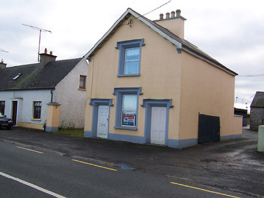 The Old BarrackRIC barracks · 512 yd
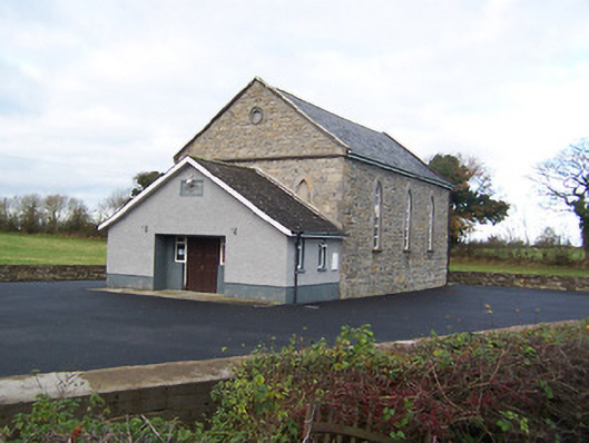 Moyvore Community Centrechurch/chapel · 761 yd
 Sessile OakSessile Oak · 1.1 mi
 IndicatedFairy fort / earthen ringfort · 1.2 mi
 Shinglis CourtCastle, unclassified · 2.5 mi
 Site of CastleCastle, unclassified · 2.9 mi
 Abbeyshrule AbbeyRuins · 3.0 mi
 Common LimeCommon Lime · 3.1 mi
 Craft WorkshopHeritage attraction · 3.1 mi
 Guest ServicesVisitor information · 3.1 mi
 Goldsmith Birthplace, PallasVisitor information · 3.5 mi