What is recorded here
Monart castle vanished before the Civil Survey, leaving only a ruinous shadow on five thousand acres of Wexford land. O'Byrne blood held the terrain through the sixteenth century until Darnell and Colcloough claims stripped it bare. The castle may still breathe beneath the soil, waiting for a foot to strike its hidden chamber.
Monart was the territory of Cahir Duffe O'Byrne in 1540 and Turlogh O'Byrne was in possession in 1590, but by 1599 Henry Darnell was the owner. From Darnell it passed to Sir Thomas Colcloough of Tintern (WX045-027002-), who left it to his son Dudley (Jeffrey 1979, 232). According to the Civil Survey (1654-56) a parcel of land amounting to 5000 acres in Templeshanbo parish was owned by Dudley Colclogh, an Irish papist, in 1641 (Simington 1953, 275, 292). The land was in the townlands of Monart, Curraghgraigue, Coolcarney, Kiltealy, Moycurry, Ballybreen, Ballynaminnan, and the unknown Faringea, Culevan and Dowinne. A castle, a mill, two bridges and a weir, all of which were described as ruinous, were on this property at Monart. The location of the castle is not known. A large house with gable and chimneys is depicted at Moynart and Keillisa on the Down Survey (1656-58) barony and parish maps.
See the attached section from the Down Survey (1656-8) barony map (N at top) reproduced courtesy of the National Library of Ireland (Ms 725)
Compiled by: Michael Moore
Date of upload: 22 May, 2012
Amended: 7 July 2021
The monument record does not grant public access. Check the route and ask the landowner before entering private land.
- What survives
- Recorded monument
Places near here
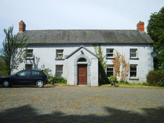 Woodlands Housefarm house · 949 yd
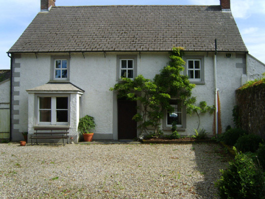 Monart Housefarm house · 1182 yd
 IndicatedFairy fort / ringfort · 1310 yd
 Killoughrum ForestForest · 1.0 mi
 Hearth in BessmountHearth · 1.5 mi
 Daphney CastleCastle, unclassified · 2.7 mi
 Pedunculate OakPedunculate Oak · 3.0 mi
 Duffry GateMemorial · 3.5 mi
 U.N. Peace MemorialMonument · 3.5 mi
 Battle of Vinegar HillMajor battlefield · 3.7 mi
 National 1798 CentreMuseum · 3.9 mi
 Ruin of a small castleRuins · 4.6 mi