What is recorded here
Clonefoure is gone, but Middleton may still cover the castle that vanished from the name. A tower house belonged there when the land was measured, and a later house may have risen upon its bones. The stones are not marked, yet they are not forgotten; they are waiting to be recognised.
A tower house-type castle is depicted in the townland of ‘Clonefoure’ on the Down Survey (1655-6) map of Moydow barony (NLI, MS 719). This townland name no longer survives but the position of the castle on the map would suggest that it may have been located in the present townland of Middleton. Its precise location has not been identified but it is possible that the 18th-century ‘Middleton House’ may have been built on or close to its site.
Compiled by: Caimin O'Brien
Date of upload: 5 November 2012
A tower house-type castle in Middleton, depicted on the 1655-6 Down Survey map, was likely held by a local Gaelic or Anglo-Irish lord during the 17th century. It is remembered as an example of early modern defensive architecture in a region shaped by conflict and land redistribution.
The monument record does not grant public access. Check the route and ask the landowner before entering private land.
- What survives
- Recorded monument
Places near here
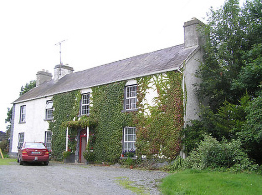 Middleton Housecountry house · 463 yd
 StructureStructure, peatland · 724 yd
 RoadRoad, class 2 togher · 729 yd
 Ardneevs WellHoly well · 804 yd
 Commons North WalkVisitor information · 4.0 mi
 Graveyard in Curry (ardagh By., Coolamber Ed)Graveyard · 4.0 mi
 Wild birdsVisitor information · 4.2 mi
 White Sand WoodWood · 4.6 mi
 Ballyclare IslandIslet · 4.7 mi
 Bawn in AbbeycartronBawn · 4.9 mi
 First World War MemorialMemorial · 5.0 mi
 Rathcline CastleBawn · 5.1 mi