What is recorded here
Lissaghanedan is an unclassified castle in County Longford, Ireland. Its castle, town and lands appeared in a 1620 grant to Gerald Nugent during the Plantation of Longford, yet the site remains unlocated. The name resists easy mapping, preserving a lost settlement rather than a visible ruin.
Depicted on an early 17th-century map of Ardagh barony (BL, Cotton MS Augustus I.ii.25). A land grant to Gerald Nugent in 1620, as part of the Plantation of Longford, included the ‘castle, town and lands of Lissagheneden’ (Cal. pat. rolls Ire., Jas I, 468). Not located.
Compiled by: Caimin O'Brien
Date of upload: 4 November 2012
Gerald Nugent received a land grant in 1620 that included Castle Lissaghanedan as part of the Plantation of Longford. The castle is remembered for its association with the English colonial settlement efforts in Ireland during the early 17th century.
The monument record does not grant public access. Check the route and ask the landowner before entering private land.
- What survives
- Recorded monument
Places near here
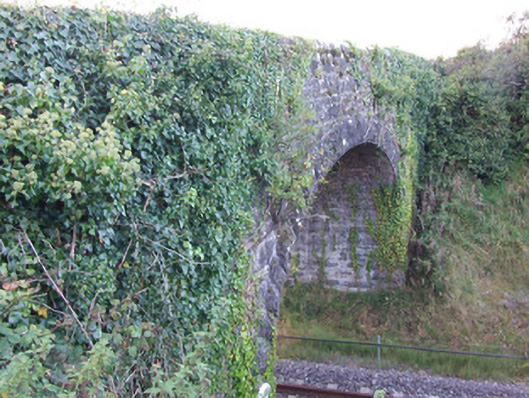 bridgebridge · 592 yd
 BarrowBarrow, unclassified · 1352 yd
 Enclosure in KeelogesEnclosure · 1440 yd
 Oldtown DemesneForest · 1462 yd
 Oldtown CopseWood · 1573 yd
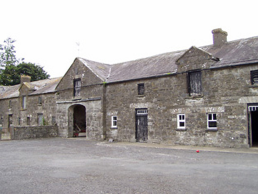 Oldtown Houseoutbuilding · 1655 yd
 Ardagh DemesneFort · 1.9 mi
 Bawn in LissardowlanBawn · 2.1 mi
 National Famine WayWalking route · 4.6 mi
 Saint Mel's CathedralCathedral · 5.4 mi
 Graveyard in Curry (ardagh By., Coolamber Ed)Graveyard · 6.1 mi
 Granard MotteMotte-and-bailey castle remains · 8.9 mi