What is recorded here
Fort Eliza stands seventy metres from the Shannon, possibly occupying the lost site of Béal Átha Ludh Castle. Sir John MacCoghlan controlled the fording point in the early 17th century, watching horsemen traverse the dryland route toward Banagher. A late medieval window fragment recovered inside the later fort suggests the older castle did not vanish but changed shape, hiding its identity beneath newer stone.
The precise location of Béal Átha Ludh Castle has not been identified. This castle belonged to Sir John MacCoghlan in the early years of the 17th century and was strategically located in order to monitor traffic along the River Shannon and control movement of people along a dryland route between the village of Lusmagh and the town of Banagher (Mac Cuarta 1987, 169). This latter route was a roadway connecting the province of Munster to Leinster and Connaught via the town of Banagher and was suitable for the movement of horsemen as described in 1620 by Matthew De Renzi. Its Gaelic place-name suggests that the castle was constructed on a fording point of the River Shannon in medieval times. An early 17th century map of Garrycastle barony places the site of the castle in close proximity to Fort Eliza. It is possible that this 19th century Fort Eliza was built on the site of the medieval castle. The head of a late medieval two-light ogee-headed window (OF021-009----) with stepped or sunken spandrels was uncovered during recent clearance of vegetation inside Fort Eliza. This fortification was constructed 70m S of the Shannon River and 480m W of the historic town of Banagher (OF021-003----). Fort Falkland (OF021-003007-) a 17th century fortification built on the site of Banagher Castle (OF021-003010-) lies 270m to NE with medieval parish church ruins (OF021-003001-) 580m to NW. The window fragment may have come from Béal Átha Ludh Castle.
Compiled by: Caimin O'Brien
Date of upload: 5 May 2017
Béal Átha Ludh Castle was held by Sir John MacCoghlan in the early 17th century and was strategically important for monitoring traffic along the River Shannon. Its location, though now unconfirmed, highlights the significance of riverine strongholds in early modern Irish defense and trade.
The monument record does not grant public access. Check the route and ask the landowner before entering private land.
- What survives
- Recorded monument
Places near here
 Burnt mound in Kylebeg OR BanagherBurnt mound · 189 yd
 CrossCross, High cross · 509 yd
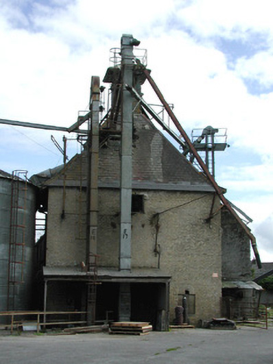 Crank Malt Housegranary · 515 yd
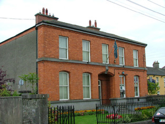 Bank of Irelandbank/financial institution · 542 yd
 Corrigans CornerMemorial · 575 yd
 Banagher MarinaHeritage attraction · 997 yd
 Birds IslandIslet · 1596 yd
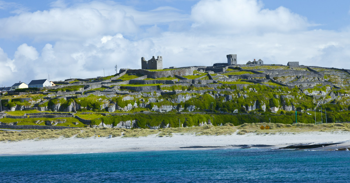 Seymours IslandsIsland · 1.0 mi
 Garry Castle in ruinsCastle, tower house · 1.2 mi
 CastleCastle, tower house · 1.7 mi
 All Saints' WellSpring · 2.4 mi
 Cregg WoodForest · 2.8 mi