
What is recorded here
Excavation was carried out by Paul Stevens, for The Archaeology Company under licence No. 06E0301 in April and May 2006 for Offaly County Council in advance of a proposed inner relief road development for Banagher town, adjacent to the zone of archaeological potential for the town. Previous assessment and centreline test-trenching by Michael Tierney in 2005 (05E1436) had revealed a possible burnt-mound site adjacent to a natural spring. As preservation in situ was not possible, full excavation was required by the licensing authorities.
Excavation revealed a number of features across the western terminus of the proposed road, including a large burnt mound of possible Bronze Age date, of c. 15m diameter, positioned on a steep slope truncated by a boundary ditch and road. The predominantly limestone mound covered ten pits or troughs, largely circular in plan and concave in profile. No artefacts were recovered to date this site, although a struck chert lithic was recovered from the mound. Unusually, the mound was largely fire-cracked limestone. Overlying the mound was a layer of soot and thirteen spreads of ash, positioned roughly in a circle. This feature was revealed to be evidence of clearance fire for the construction of the road and field boundary that truncated the site. A sizeable quantity of post-medieval pottery was also recovered from this phase of activity, as well as a fine stone-lined ditch to the road. Further east, 220m from the burnt mound, were other similar ash deposits and burnt features. However, one large pit in the vicinity produced a polished and perforated boar’s tusk pendant. It is unclear if this was related to the burnt mound activity (Bennett 2009, 448).
Compiled by Caimin O'Brien
Date of upload/revision : 07 November 2011
Burnt mound; date uncertain but likely Bronze Age. It represents a common type of prehistoric domestic or ritual site, though its specific significance remains unclear due to limited contextual information.
The monument record does not grant public access. Check the route and ask the landowner before entering private land.
- What survives
- Recorded monument
Places near here
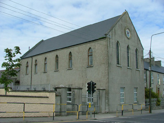 La Sainte Union Conventchurch/chapel · 507 yd
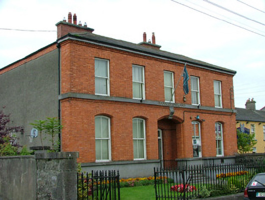 Bank of Irelandbank/financial institution · 512 yd
 CrossCross, High cross · 537 yd
 Corrigans CornerMemorial · 616 yd
 Town defences in Curraghavarna AND Portavrolla,kylebeg OR BanagherTown defences · 784 yd
 Banagher MarinaHeritage attraction · 1113 yd
 Birds IslandIslet · 1680 yd
 Garry Castle in ruinsCastle, tower house · 1.1 mi
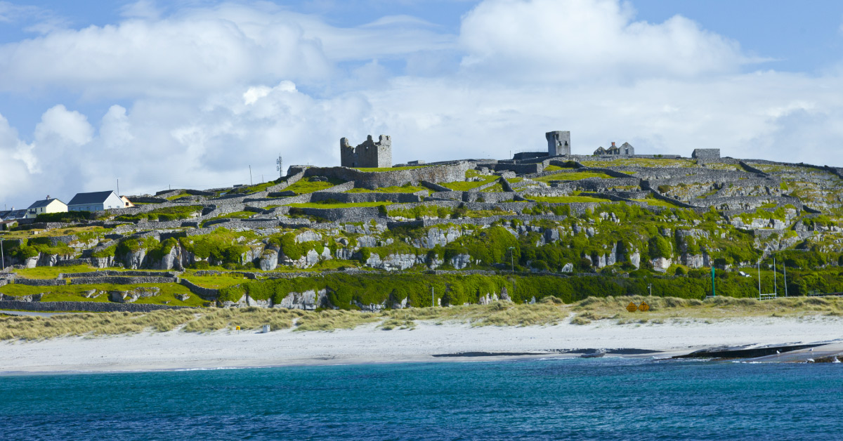 Seymours IslandsIsland · 1.1 mi
 CastleCastle, tower house · 1.6 mi
 All Saints' WellSpring · 2.3 mi
 Cregg WoodForest · 2.8 mi
Other information
Photo: Credit not shown in the picture search · Rights wording not checked; contact us if this picture should be removed