What is recorded here
Kinnegad Castle vanished beneath a modern housing estate, erasing the tower house that once guarded the river ford. Maps from the Down Survey and Sir William Petty still mark its absence near the bridge, preserving a shape the soil has forgotten. The residence belongs to legend now, occupying space only through the certainty of its own disappearance.
The precise location of Kinnegad Castle has not been identified. In 1557 during the Reign of King Philip and Queen Mary, the crown certified a land grant to the Earl of Kildare and Mabell, his wife which included ‘a castle called Kenegad, in the county of Westmeath’ (Cal. pat. rolls Ire., Chas I, 193). No surface remains visible of any castle in area marked on the Record of Monuments and Places Map [RMP] of Co. Westmeath. Modern housing estate located in area marked on the RMP map. No castle site or castle location is depicted on any edition of the OS 6-inch maps. The exact location of Kinnegad Castle has not been identified. The location on the RMP map is based on the 1654 Down Survey map of Farbill barony. On this map Kinnegad Castle is depicted as a tower house type fortification standing close to the W bank of the Kinnegad River (NLI, MS 723-4). The castle is depicted standing a short distance to the NW of Kinnegad Bridge (WM028-003----). The castle of 'Kinigad' is depicted standing close to the bridge on Sir William Petty's map of Ireland dating from 1685. The terrier of the 1655 Down Survey map of Farbill barony records that in Kinnegad there is ‘a castle in good repaire where is at present some horse quartered’ (Simington 1961, 41; NLI, MS 723-4). The 1655 Down Survey records that in 1640 the lands of Kinnegad consisting of 609 Irish plantation acres (986 statute acres) belonged to Sir Luke FitzGerald of Ticroghan, Clonard, Co. Meath (NLI. MS 723-4). In 1668 the forfeited lands of Kinnegad belonging to Sir Luke FitzGerald were granted to John Clotworthy, 1st Viscount Massereene. The castle was located close to the bridge and fording point over the Kinnegad River in the fields to the W of the river.
Compiled and revised by: Caimin O'Brien
Date of revised upload: 12 August 2013
Built or held by the Earl of Kildare and his wife Mabel in the mid-16th century, during the reign of King Philip and Queen Mary. It is remembered for its mention in a 1557 royal land grant, reflecting the ongoing consolidation of Anglo-Irish lordships under Tudor rule.
The monument record does not grant public access. Check the route and ask the landowner before entering private land.
- What survives
- Recorded monument
Places near here
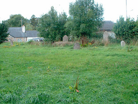 graveyard/cemeterygraveyard/cemetery · 624 yd
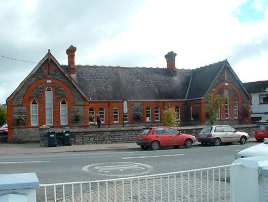 Kinnegad National Schoolschool · 721 yd
 OutlinedFairy fort / earthen ringfort · 878 yd
 Partially hachuredFairy fort / earthen ringfort · 1431 yd
 Ardnamullan CastleCastle, tower house · 2.0 mi
 Rattin CastleCastle, tower house · 2.8 mi
 Abandoned Kinnegad CanalWood · 4.1 mi
 Rahin WoodsForest · 4.6 mi
 Croppies' GraveMemorial · 4.7 mi
 Moat HillMountain / peak · 6.2 mi
 Sli na Slainte - mapVisitor information · 14 mi
 Allen family memorial headstoneMemorial · 14 mi