What is recorded here
No wall, yard or gate remains to mark the Castle of Balloughter, though a 1654 map drew a small tower house near the townland boundary. Nicholas Darcy held the land and castle in 1640, then war and neglect erased the structure from the earth. The exact spot has vanished into ordinary farmland, leaving only a line on an old survey and a name refused by memory.
The precise location of this castle within the townland of Hightown or Balloughter has not been identified. The area marked on the Record of Monuments and Places Map [RMP] for Co. Westmeath is based on the 1654-7 Down Survey map of Farbill barony. No castle site or location is depicted on any edition of the OS 6-inch maps. A 19th century house and farmyard is located in the area marked on the RMP map of Co. Westmeath and there is no known tradition of a castle at this location. The 1654-7 Down Survey map of Farbill barony depicts a tower house type castle standing close to the S townland boundary with Lowtown or Balleighter (NLI, MS 723-4). In 1640 the lands of Balloghter including the castle belonged to Nicholas Darcy (NLI, MS 723-4). The terrier of the 1654 map states that the ‘Castle of Balloughter’ was one of 10 castles that ‘were very small ones formerly & now quite Demolished’ (NLI, MS 723-4).
Compiled by: Caimin O’Brien
Date of upload: 14 August 2013
The monument record does not grant public access. Check the route and ask the landowner before entering private land.
- What survives
- Recorded monument
Places near here
 Enclosure in Hightown or BalloughterEnclosure · 479 yd
 OutlinedFairy fort / earthen ringfort · 534 yd
 Heathstown CastleCastle, tower house · 1686 yd
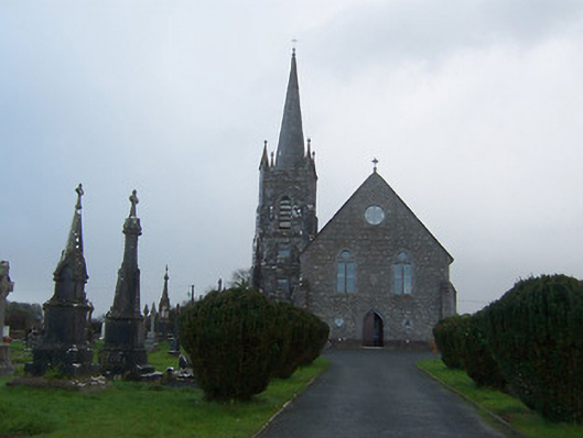 Saint Agnes's Catholic Churchchurch/chapel · 1.1 mi
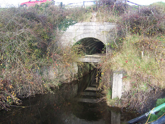 aqueductaqueduct · 1.4 mi
 Moat of PassCastle, motte · 2.0 mi
 Rahin WoodsForest · 8.0 mi
 Roundhill WoodForest · 8.1 mi
 Croppies' GraveMemorial · 8.8 mi
 CrossCross, Wayside cross · 1596 yd
 sluice/sluice gatesluice/sluice gate · 1.5 mi
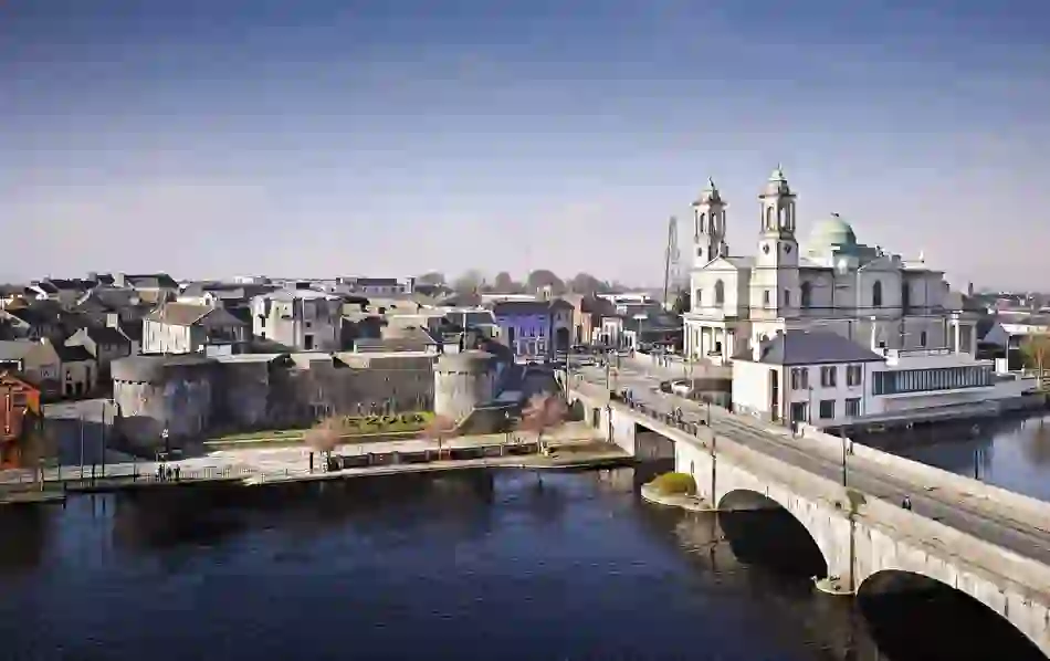 Man-made underground passage in BanagherMan-made underground passage · 1.5 mi