What is recorded here
Castle, unclassified in Gibbonstown, may still hide beneath ordinary ground. Its exact location has not been identified, though a tower-like shape appeared on the 1654-7 Down Survey map of Coshlea Barony. The castle may have stood where a lane bends, a garden deepens or a field holds a strange line of stones. To walk Gibbonstown is to pass the place while naming the townland instead of the chamber within it.
The precise location of a castle in the townland of Gibbonstown has not been identified. Westropp (1906-7, 193) recorded the following details about Gibbonstown; '1572-4 Pardons of Ger. mac Thomas of Ballygibbon (Fi. 2158, 2472 ; Hardiman, No. 56). 1655 Gibinstowne ould ruynous C[astle], by N. Haly; also the seats of two grist-mills in Kilbreedy (C.S., xxv., p. 11 ; and D.S. A., 56).' tower house like castle is depicted on the 1654-7 Down Survey map of Coshlea Barony (Hib. Reg.). The terrier of the Down Survey map of Kilbreedy Parish recorded that on the 'Lands of Gibbonstowne are the Ruines of the old Castle' which were owned by Nicholas Haly and Gibbon FitzGibbon (NLI, MS 718). The 1654-56 Civil Survey of Limerick recorded that Nicholas Haly of Tworyne and Gibbon FitzGibbon of Doonmoone both Irish Papists were the owners of Gibbonstown in 1640 containing 'a piece of an ould ruynous Castle' (Simington 1938, 237).
See attached Down Survey map of Coshlea Barony
Compiled by: Caimin O'Brien
Date of upload: 24 May 2021
The monument record does not grant public access. Check the route and ask the landowner before entering private land.
- What survives
- Recorded monument
Places near here
 Bantard Househouse · 1182 yd
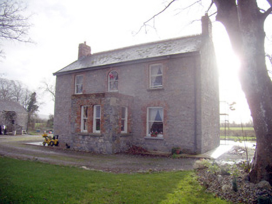 Lady Househouse · 1219 yd
 Castle (in ruins)Castle, tower house · 1349 yd
 Bulgaden Castle (in ruins)Castle, tower house · 1378 yd
 Rathbaun, HachuredFairy fort / earthen ringfort · 1398 yd
 Ladys WellHoly well · 1441 yd
 Ballinvreena LoopVisitor information · 3.7 mi
 Ballyhoura tourist informationVisitor information · 4.3 mi
 Edmund's WellSpring · 4.3 mi
 Flat cemetery in Knockainy WestFlat cemetery · 4.8 mi
 St Patrick's WellSpring · 4.8 mi
 KnockainyMountain / peak · 4.8 mi