What is recorded here
Redmondstown Castle vanished from every later map despite appearing on the 1657 Down Survey, leaving behind a geographic hole rather than a ruined stone circle. That absence is louder than most surviving castles because it admits the boundary between memory and invention. Gaybrook Demesne may still cover its chambers, or may have forgotten them entirely.
The precise location of Redmondstown Castle has not been identified. The castle is depicted on the 1657 Down Survey map of Fartullagh barony (NLI, MS 723-4). The castle is not depicted on any edition of the OS 6-inch maps.
Compiled by: Caimin O'Brien
Date of upload: 11 October 2016
Redmondstown Castle was likely built in the 17th century, as indicated by its appearance on the 1657 Down Survey map. Its importance lies in its historical record as part of the Fartullagh barony, offering insight into early modern landholding patterns in the region.
The monument record does not grant public access. Check the route and ask the landowner before entering private land.
- What survives
- Recorded monument
Places near here
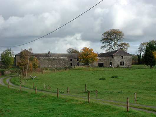 Gaybrook Housefarmyard complex · 374 yd
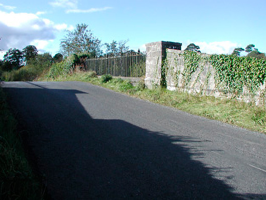 bridgebridge · 867 yd
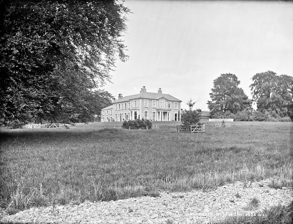 Partially indicatedEnclosure · 1076 yd
 Fulacht fia in Corbally (fartullagh By.)Fulacht fia · 1148 yd
 Bawn in Simonstown (fartullagh By.)Bawn · 1403 yd
 Castle in RuinsCastle, tower house · 1.1 mi
 Dysart IslandIsland · 4.4 mi
 The Chimera GalleryGallery · 4.5 mi
 Famine MemorialMemorial · 4.5 mi
 Ash IslandIslet · 4.5 mi
 Roundhill WoodForest · 11 mi
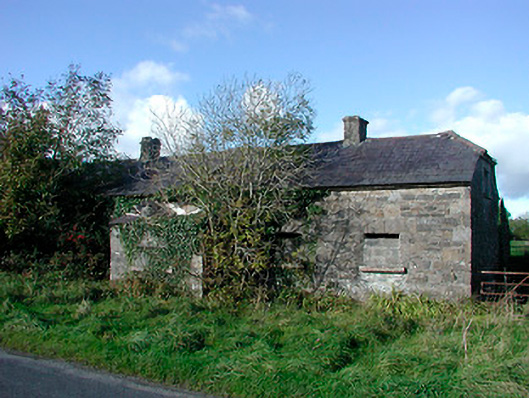 worker's houseworker's house · 1011 yd