What is recorded here
Carigateiry Castle stood near the River Suir opposite Ballydonahy and Arpadeene, belonging to Robt. Prendergast in 1640. Its exact foundation has vanished among Greenmount, Garrancasey and Moloughabbey, leaving behind only a ghost of ownership and a plaque now trapped inside Kenilworth House. The castle did not disappear so much as it stopped being visible, pushing its identity into water, stone and memory.
According to the Civil Survey (1654-6) in 'Carrigtearhy' there stands 'a Castle' which in 1640 was under the proprietorship of 'Robt. Prendergast of Carrigtearhy Gent' (Simington 1931, vol. 1, 325-6). The Down Survey map (1655-58) of the Barony of Glenahiry in County Waterford depicts ‘Carigateiry Castle’ near the River Suir and across from where the Waterford townlands of ‘Ballydonahy’ and ‘Arpadeene’ meet. The modern townlands of Ballydonagh and Ardpaddin in County Waterford are across the River Suir from the townlands of Greenmount, Garrancasey and Moloughabbey in County Tipperary. The castle is unlocated in these three townlands, though it is most likely to have been in the southern part of Greenmount or in Garrancasey, there is also a possibility it was in the northern part of Moloughabbey townland. It is possible that the armorial plaque (TS088-075----) currently located at Kenilworth House in Geenmount townland originally came from Carigateiry Castle.
Compiled by: Jean Farrelly
Date of upload: 25 February 2014
Robert Prendergast of Carrigtearhy held the castle in 1640; its significance lies in its mention in historical land surveys, reflecting early modern land ownership in the region.
The monument record does not grant public access. Check the route and ask the landowner before entering private land.
- What survives
- Recorded monument
Places near here
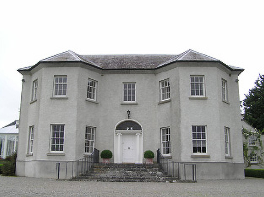 Kenilworth Housecountry house · 610 yd
 Suirmount Housefarm house · 1021 yd
 European long distance path E8 - part IrelandWalking route · 1046 yd
 Font in MoloughabbeyFont · 1128 yd
 Enclosure in BurgeslandEnclosure · 1266 yd
 IndicatedBawn · 1.2 mi
 Site of Clocully CastleCastle, unclassified · 2.0 mi
 Hybrid Black PoplarHybrid Black Poplar · 2.8 mi
 Deodar CedarDeodar Cedar · 3.1 mi
 KnockmealMountain / peak · 4.8 mi
 Woodcock HillMountain / peak · 4.9 mi
 Siege of Clonmelsiege · 5.8 mi