What is recorded here
Castle belonged to the FitzGibbons in Coolcaum, though no wall or tower remains visible today. A four-foot rise in pasture still marks the site where cutting tools struck buried stone. The land has kept the shape of the castle even after the castle disappeared from sight.
In pasture, on gentle W-facing slope. No visible surface trace of castle. Landowner described raised area (H c. 4ft) in field, where area some cut stone was uncovered when area levelled. Castle of the FitzGibbons (Healy 1988, 324).
The above description is derived from the published 'Archaeological Inventory of County Cork. Volume 4: North Cork' (Dublin: Stationery Office, 2000). In certain instances the entries have been revised and updated in the light of recent research.
Date of upload/revision: 14 January 2009
The monument record does not grant public access. Check the route and ask the landowner before entering private land.
- What survives
- Recorded monument
Places near here
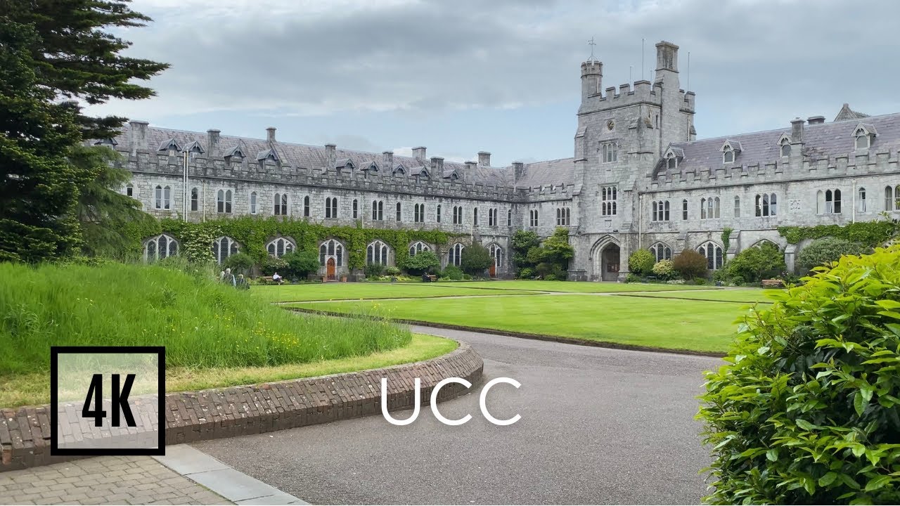 Fulacht fia in Coolcaum (orrery and Kilmore By.)Fulacht fia · 507 yd
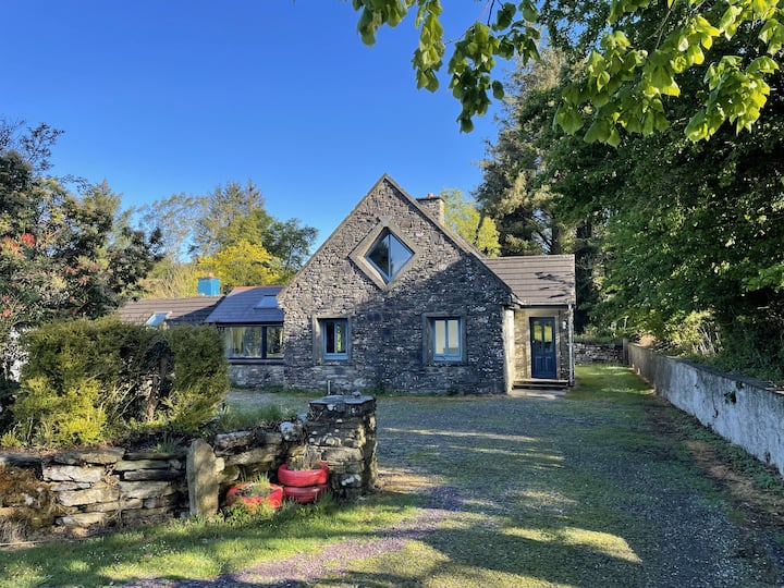 Enclosure in Ballyroe (orrery and Kilmore By.)Enclosure · 741 yd
 CastleCastle, motte · 1293 yd
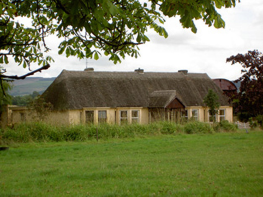 Ballynoran Househouse · 1471 yd
 IndicatedQuarry · 1745 yd
 Castle (Site of)Castle, unclassified · 1.3 mi
 Ballyhoura WayWalking route · 2.0 mi
 Windmill HillMountain / peak · 2.0 mi
 Holy Cross CemeteryGraveyard · 3.5 mi
 CarrigeenMountain / peak · 3.7 mi
 Churchtown TrailsVisitor information · 3.7 mi
 BallinaboolaVisitor information · 4.3 mi