What is recorded here
Castle in Cloonbonny is a square shadow beneath wet pasture, visible only when crops grow uneven above its buried bones. The 1820 Estate Map marked it as a ruin, but by 1973 no stone or bank remained for human eyes. It still stands in the grass, waiting for rain or drought to draw its outline across the field.
Situated on NW-facing slope, in low-lying, wet pasture, overlooking a stream c. 85m to NW. A bowl-barrow (WM029-033----) lies c. 40m to W and a railway line running NW-SE lies c. 45m to NE. Depicted on an 1820 Estate Map (NLI 14 A 25) as a castle ruin marked on the site of an earthwork. Not depicted on OS mapping. Monument described in 1973 as no surface remains visible. Castle site is visible as a roughly square-shaped cropmark (approx. dims. 30m NW-SE; 30m NE-SW) defined by a dark green band of differential growth in contrast to the surrounding field, on OSi aerial photography.
Compiled by Alison McQueen, Vera Rahilly and Caimin O’Brien.
Date of upload: 07 November 2019
The monument record does not grant public access. Check the route and ask the landowner before entering private land.
- What survives
- Recorded monument
Places near here
 Cloonbonny Bridgebridge · 345 yd
 Cloonbonny Househouse · 736 yd
 Castle O'BrienCastle · 1551 yd
 OutlinedFairy fort / earthen ringfort · 1.3 mi
 Inauguration site in CarrickobreenInauguration site · 1.5 mi
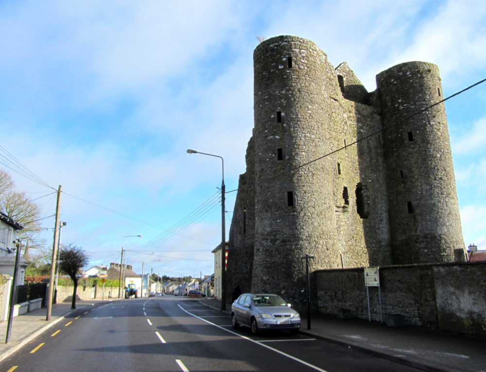 GarrycastleCastle · 1.5 mi
 Wren's IslandIslet · 1.7 mi
 Long IslandIsland · 1.9 mi
 Athlone Music MuseumMuseum · 2.6 mi
 1916 Centenery CommemorationMemorial · 2.7 mi
 Bastion GalleryGallery · 2.8 mi