What is recorded here
Clondrinagh Castle vanished into the green Limerick earth, leaving behind only a drawing and a ghost of a shadow. The Down Survey captured a tall stone sentinel beside humble dwellings, but human hands and time erased every angle and edge. You can still walk past Pigeon Hill, imagine the tower rising through the grass, and wonder which family watched the valley from its lost rooms.
The precise location of Clondrinagh Castle has not been identified. A tower house-like structure standing beside a cluster of dwellings (LI005-045002-) is depicted in this townland on the 17th century Down Survey map of the Barony of North Liberties (NLI, MS 718; Westropp 1906-7, 82). The RMP map for Co. Limerick identified a cluster of dwellings [ITM 553435/658475] immediately N of Pigeon Hill as the possible site of Clondrinagh Castle. No surface remains visible of any tower house at this location and no supporting cartographic evidence to suggest that this was the precise location of Clondrinagh Castle.
See attached 1657 Down Survey barony map of North Liberties (Hib. Reg.) showing Clondrinagh Castle
Compiled by: Caimin O'Brien
Date of upload: 09 January 2020
The monument record does not grant public access. Check the route and ask the landowner before entering private land.
- What survives
- Recorded monument
Places near here
 Hachured - IndicatedFairy fort / earthen ringfort · 937 yd
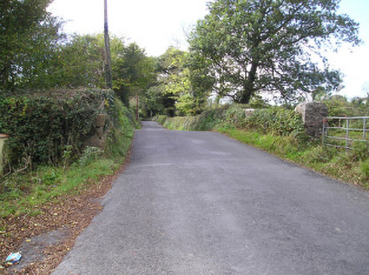 Meelick Bridgebridge · 1215 yd
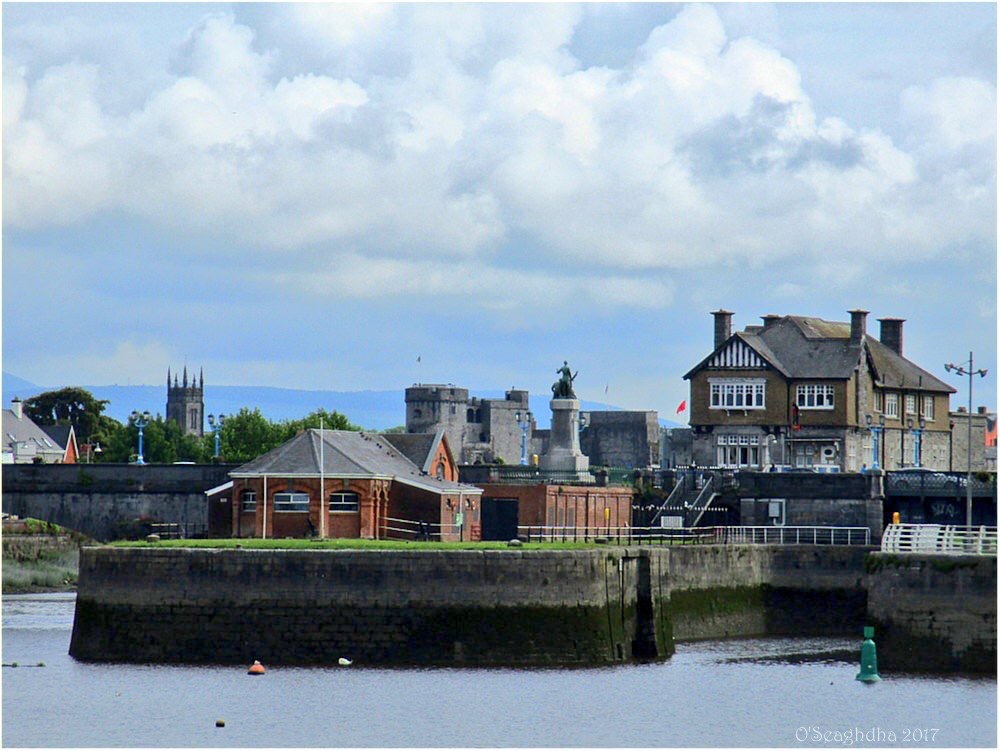 Enclosure in Coonagh EastEnclosure · 1337 yd
 Coreen Castle (in ruins)Castle, unclassified · 1718 yd
 Coonagh NatureNature reserve · 1.3 mi
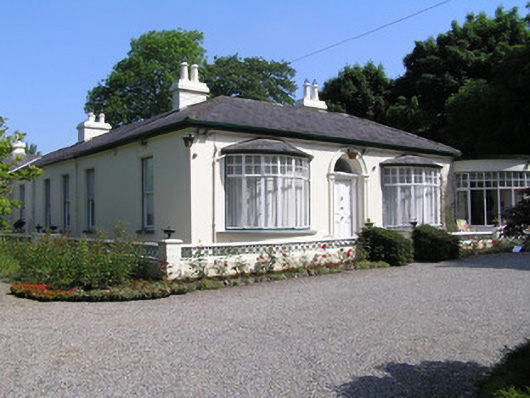 Cragfieldhouse · 1.3 mi
 Muckinish PointHeadland · 1.6 mi
 Site of CastleCastle, unclassified · 1.8 mi
 Sailors HaggardMemorial · 2.6 mi
 Cratloe WoodsForest · 3.0 mi
 Ardnacrusha ToursMuseum · 3.6 mi
 Seán Keating GalleryGallery · 3.6 mi