What is recorded here
Rahesker castle stood in Cliven before human memory faded, holding the kind of power that never needed to announce itself. The Down Survey captured its shadow in 1656, yet even that map kept the place half-hidden. Castle Field still lies south of Rathcoole House, waiting for someone reckless enough to walk its grass and ask what the land remembers.
A castle at Rahesker (64) in Mostowne parish is marked on the Down Survey (1656-8) barony map, for which see this web-page accessed on 6 May, 2016 http://downsurvey.tcd.ie/down-survey-maps.php#bm=Atherdee&c=Louth Rahesker now consists of the townlands of Cliven, Ratheskar Middle, Gunstown and Ratheskar South. Locally, a field S of Rathcoole House and W of the wood was known as the 'Castle Field', but its precise location is not known.
Compiled by: Michael Moore
Date of revision: 6 May 2016
The monument record does not grant public access. Check the route and ask the landowner before entering private land.
- What survives
- Recorded monument
Places near here
 Man-made underground passage in ClivenMan-made underground passage · 434 yd
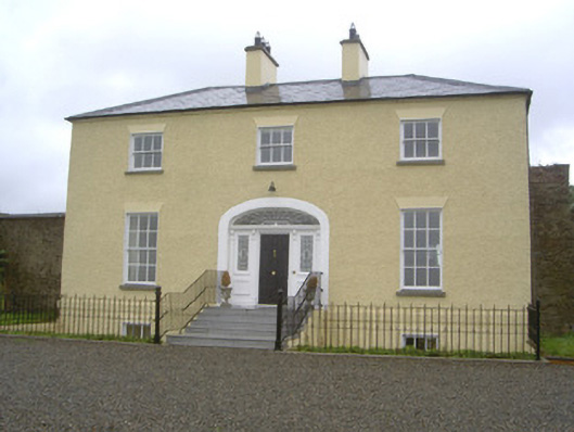 Rathcoole Househouse · 637 yd
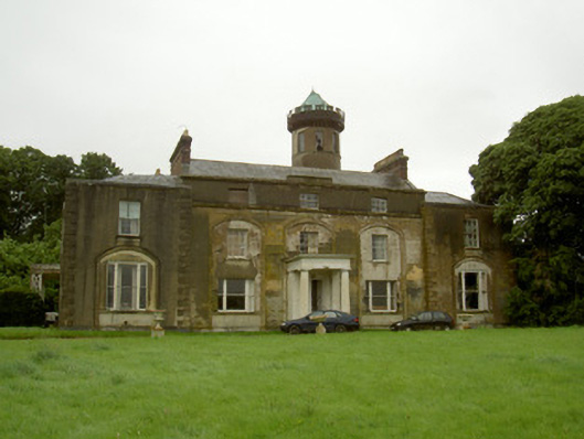 Rathescarcountry house · 771 yd
 Ritual siteRitual site, holy/saint's stone · 817 yd
 Rathescar Lakeside WalkWood · 1405 yd
 Not idicatatedCastle, unclassified · 1490 yd
 Monterey CypressMonterey Cypress · 2.0 mi
 Rocjardstown CastleCastle, tower house · 2.0 mi
 Graveyard in Richardstown (ardee By., Richardstown Par.)Graveyard · 2.1 mi
 Graveyard in StickillinGraveyard · 2.7 mi
 Black HillMountain / peak · 3.0 mi
 Mount OrielMountain / peak · 3.2 mi