What is recorded here
Caherdavin Castle vanished before human memory, leaving only a inked tower house on a 17th century Down Survey map. The drawing shows a building with an attached wing, but no stone remains for anyone to touch or argue about. That absence is the point: the castle stopped being a place people could walk around and became a shape remembered by a surveyor.
The precise location of Caherdavin Castle has not been identified. A tower house-like structure with house attached to one side of castle is depicted in this townland on the 17th century Down Survey map of the Barony of North Liberties (Hib. Reg.; Westropp 1906-7, 82). The RMP map for Co. Limerick identified Caherdavin House [ITM 554906/657861] as the possible site of the castle. No surface remains visible of any tower house at this location and no supporting cartographic evidence to suggest that this was the precise location of Caherdavin Castle.
See attached 1657 Down Survey barony map of North Liberties (Hib. Reg.) showing Caherdavin Castle
Compiled by: Caimin O'Brien
Date of upload: 09 January 2020
Caherdavin Castle was likely built in the 17th century, as indicated by its depiction on the Down Survey map, and is remembered for its tower house design with an attached dwelling, reflecting typical defensive and domestic architecture of the period in Ireland.
The monument record does not grant public access. Check the route and ask the landowner before entering private land.
- What survives
- Recorded monument
Places near here
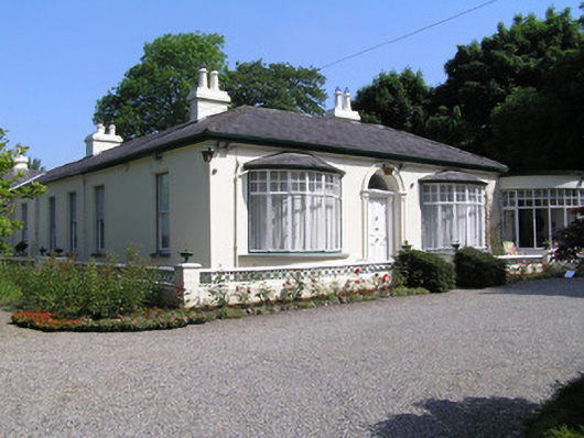 Cragfieldhouse · 970 yd
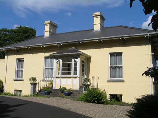 Orelandhouse · 1006 yd
 Enclosure in ClonmackenEnclosure · 1183 yd
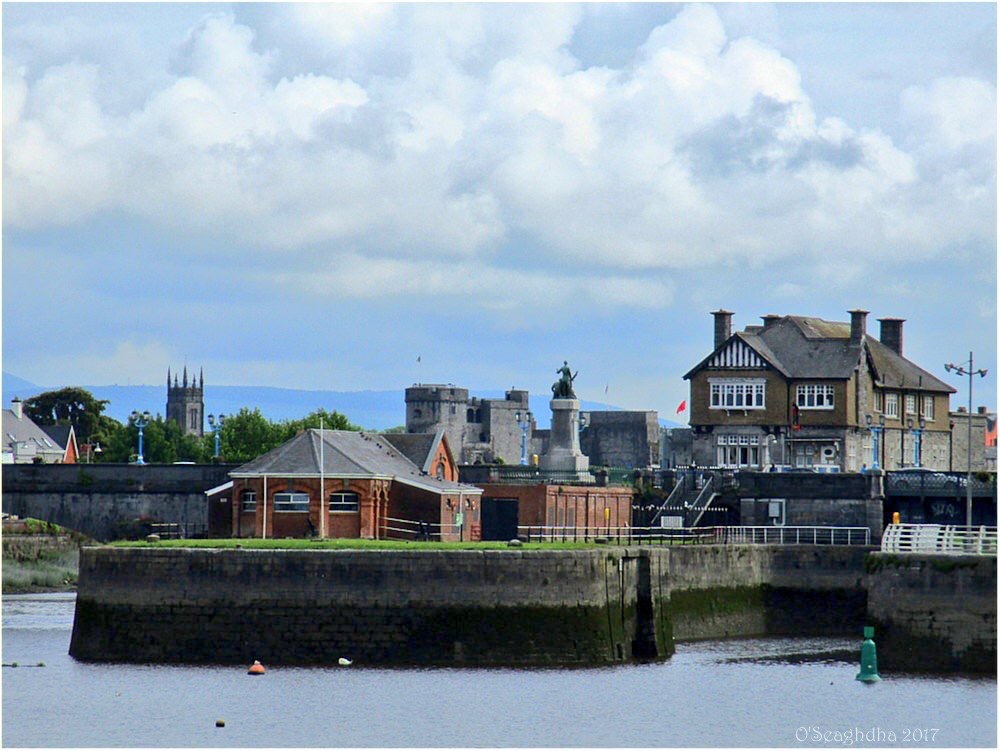 Enclosure in Coonagh EastEnclosure · 1331 yd
 Coreen Castle (in ruins)Castle, unclassified · 1.2 mi
 Site of CastleCastle, unclassified · 1.3 mi
 Coonagh NatureNature reserve · 1.4 mi
 Limerick Seamen's MemorialMemorial · 1.5 mi
 Saint John Paul IIMemorial · 1.5 mi
 King's IslandIsland · 1.8 mi
 Ardnacrusha ToursMuseum · 3.4 mi
 Seán Keating GalleryGallery · 3.4 mi