What is recorded here
Castle in Buncarrick, County Wexford: unclassified, probably Barry land. In 1598 Barry of Buncarricg was called a gentleman of Forth, and James Barry held sixty-six acres there around 1640. A structure on the Down Survey map may have been a house or a mill, not a grand castle at all. The name Castle may be pride, mistake, or memory stretching what the Barrys actually owned.
In 1598 Barry of Buncarricg was accounted one of the gentlemen of Forth (Jeffrey 1979, 11). According to the Book of Survey and Distribution (1660s) James Barry held 66 acres at Buncarricke in Carne parish c. 1640 (Simington 1953, 305) and a structure that might be a house or a mill is depicted on the Down Survey barony map at Buncarrick (1). These Barrys may be the same family as that in Barrystown (WX045-020001-).
See the attached section from the Down Survey barony map (N at right) reproduced courtesy of the National Library of Ireland (Ms 725).
Compiled by: Michael Moore
Date of upload: 21 March, 2014
The monument record does not grant public access. Check the route and ask the landowner before entering private land.
- What survives
- Recorded monument
Places near here
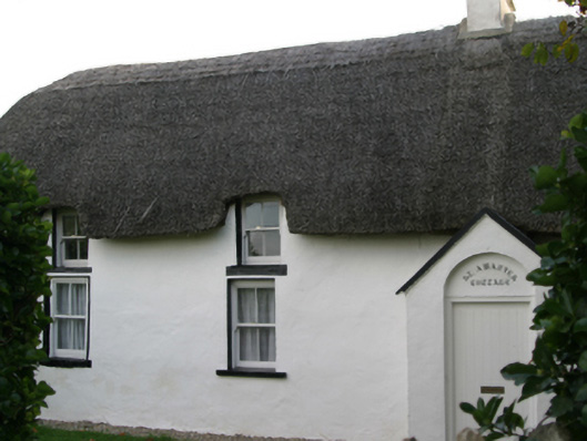 Saint Awaries Cottagefarm house · 398 yd
 Enclosure in BallareEnclosure · 437 yd
 Ladys WellHoly well · 538 yd
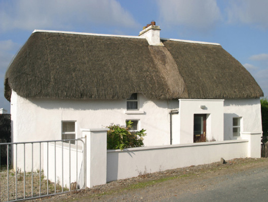 Sutton Cottagefarm house · 603 yd
 Site of CastleCastle, unclassified · 750 yd
 TowerBawn · 1011 yd
 Lady's IslandVisitor information · 1068 yd
 ScargeenIsland · 1302 yd
 Carne BeachBeach / strand · 1572 yd
 InishIsland · 1601 yd
 Shernock Hill/Knocks HillMountain / peak · 1663 yd
 Lifeboat MemorialMemorial · 1.0 mi