What is recorded here
Castlewarden and Banshee still border the lost castle, though no wall or gate remains visible. The Down Survey mapped it in 1655-6, drawing a line around what human hands had built and defended. That much is clear. What is missing is the shape of its rooms, the sound inside them, and the name of the last person who lived there.
The Down Survey (1655-6) map shows a castle on the borders of Banshee and Castlewarden townlands. The exact location of this monument is unknown.
Compiled by Geraldine Stout
The monument record does not grant public access. Check the route and ask the landowner before entering private land.
- What survives
- Recorded monument
Places near here
 Wards WellHoly well · 384 yd
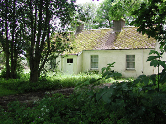 The Cottagehouse · 1034 yd
 Cave siteMan-made underground passage · 1188 yd
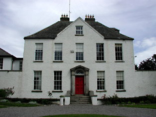 Athgoe Castlecountry house · 1325 yd
 Cullen's Hill WoodWood · 1581 yd
 Castlewarden MoatCastle, motte and bailey · 1647 yd
 Colmanstown Castle (in ruins)Castle, tower house · 1673 yd
 Icehouse WoodWood · 1.1 mi
 Athgoe HillMountain / peak · 1.1 mi
 Arthur Guinness GraveMemorial · 1.3 mi
 Oughterard Round TowerHeritage attraction · 1.3 mi
 Saint Finian's WellSpring · 1.7 mi