What is recorded here
Ballymachugh Castle vanished before modern mapping began, leaving only a faint mark on the 1654-9 Down Survey map of Newtown parish. The castle resisted every later survey, hiding from the OS 6-inch maps and denying itself to contemporary eyes. It may have been a small stronghold, a seasonal residence or a boundary marker for a family now lost. Whatever it was, it chose forgetfulness, retreating into Westmeath soil until even its name became a ghost.
The precise location of Ballymachugh Castle has not been identified. The castle is depicted on the 1654-9 Down Survey map of Newtown parish (NLI, MS 723-4). The castle is not depicted on any edition of the OS 6-inch maps.
Compiled by: Caimin O'Brien
Date of upload: 13 October 2016
Ballymachugh Castle was likely built during the 17th century, as indicated by its appearance on the 1654–1659 Down Survey map. Its exact builder and current status remain unknown, but its depiction on early maps highlights its historical presence in the Newtown parish area.
The monument record does not grant public access. Check the route and ask the landowner before entering private land.
- What survives
- Recorded monument
Places near here
 Ardan WoodWood · 1332 yd
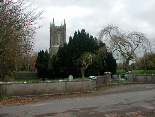 Christ Church (Newtown)church/chapel · 1387 yd
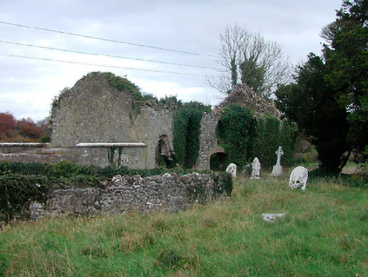 church/chapelchurch/chapel · 1479 yd
 Ecclesiastical enclosure in NewtownlowEcclesiastical enclosure · 1485 yd
 Lows Castle (in Ruins)Castle, unclassified · 1612 yd
 Bonfire HillMountain / peak · 1.3 mi
 OutlinedFairy fort / ringfort · 1.3 mi
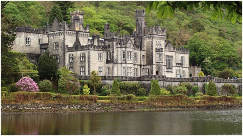 Kiltober CastleCastle, tower house · 2.1 mi
 Durrow HillMountain / peak · 3.2 mi
 Bracklin WoodWood · 3.6 mi
 St. Columba's WellSpring · 4.4 mi
 Grand Canal WayWalking route · 6.4 mi