What is recorded here
Castle, unclassified in Ballygreany stands at the south foot of a low ridge in County Kildare, marked only as Ca on Taylor’s 1783 map. No wall, gate or room survives to identify it, yet the nearby field still carries the name the old town. That much is certain: a castle existed there before memory faded. What it looked like, who built it and when it fell remain lost beneath the pasture.
Shown and marked 'Ca' [castle] on Taylor’s 1783 Map of County Kildare. Not remembered locally, but a field in the general vicinity was known as 'the old town'. Area of level mixed fair and rushy pasture at the S foot of a low ridge. The precise location of this castle is unknown.
Compiled by: Gearóid Conroy
Date of upload: 30 August 2012
Built or held not recorded; likely of medieval origin. Its importance lies in its early map documentation and the local reference to 'the old town', suggesting a historical settlement presence.
The monument record does not grant public access. Check the route and ask the landowner before entering private land.
- What survives
- Recorded monument
Places near here
 Enclosure in DuneanyEnclosure · 711 yd
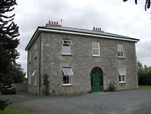 Oghill Housefarm house · 789 yd
 Church (in Ruins)Church · 1757 yd
 Site of CastleCastle, unclassified · 1.0 mi
 Enclosure in Grangebeg (kildangan Ed)Enclosure · 1.0 mi
 Brookfield WoodWood · 1.7 mi
 Bawn in Lackagh BegBawn · 2.3 mi
 Moore Abbey WoodWood · 2.8 mi
 Horse MuseumMuseum · 3.5 mi
 Japanese GardensHeritage attraction · 3.6 mi
 Bithia Mary CrokerMemorial · 6.4 mi
 Bog Lake WalkWalking route · 9.0 mi