What is recorded here
Castle, unclassified in Ballinlough East, Bansha East and Bansha West still resists identification. It appears on the Down Survey map of 1655-6, yet no exact spot has been recovered. The boundary between drawing and loss widens when a castle is recorded but cannot be placed. What is drawn may have been a memory, a mistake or a building already gone.
A castle is depicted on the Down Survey (1655-6) map but its precise location is unknown. It is unlocated within three townlands, Ballinlough East, Bansha East and Bansha West.
Compiled by: Jean Farrelly
Date of upload: 22 Janurary 2013
The monument record does not grant public access. Check the route and ask the landowner before entering private land.
- What survives
- Recorded monument
Places near here
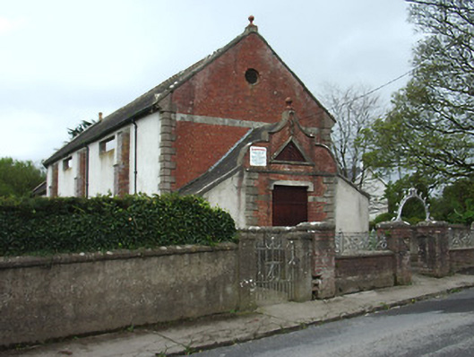 Bansha Public Hallhall · 214 yd
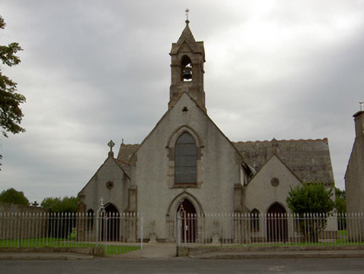 Catholic Church of the Annunciationchurch/chapel · 394 yd
 Settlement cluster in Ballinlough East,bansha WestSettlement cluster · 480 yd
 Bansha CastleCastle · 582 yd
 Castle (in ruins)Castle, unclassified · 665 yd
 Enclosure in Ballinlough West,rathdermotEnclosure · 901 yd
 Bansha ForestForest · 2.0 mi
 Pedunculate OakPedunculate Oak · 3.0 mi
 The RockViewpoint · 3.9 mi
 SturrakeenMountain / peak · 3.9 mi
 I.R.A. 3rd. Tipperary Brigade MemorialMemorial · 4.0 mi
 Laghtshanaquilla North-East TopMountain / peak · 4.3 mi