What is recorded here
Two castles guarded the Inny River fording at Ballinalack, forming a narrow chokepoint where the Ledwich family controlled traffic between Mullingar and Longford. Christopher Ledwich died in 1406 holding the castle and a local fishery, while his descendant James faced attaint after supporting the Jacobite cause in 1691. The buildings vanished from modern sight, but the river, bridge and road still mark the place where they strangled a busy medieval route.
wo medieval castles at Ballinalack stood beside the fording point of the Inny River. The terrier of the 1659 Down Survey parish map of Leny recorded that ‘there are in this parish six castles vizt. at Rathbennett (WM011-060----), Farrow (WM011-055----) Cullanhue (WM011-007----) Ballinafid (WM011-077----) each one & at Ballinilack two castles (WM006-048----/-049----)’ (NLI, MS 723-4). No surface remains visible of the medieval castle of Ballinalack which stood E of the fording point and bridge (WM006-075----) over the Inny River and adjacent to a medieval routeway. This fortified building was one of two castles (WM006-048---) standing beside Ballinalack Bridge. In 1406 Christopher Ledwich died, seized in fee of the Castle of Ballinalack, and a fishery on the river Inny (Woods 1907, 141). In 1598 ‘Ledwich of Ballinelock’ was listed as one of the Chief Gentlemen in Westmeath (Hogan 1878, 110). In 1629 the estate of Edward Ledwitch who died in 1628 was described as consist of one castle in the townland of Ballinlacke & Grange with 120 acres of land, in Carrick 140 acres, 15 acres in Fulmort, 120 acres in Cappagh, 60 acres in Joanstown 30 acres in Cullenhugh and 30 acres in Heathland (Cal. inq. post mortem, 42 Car I). He was succeeded by his son and heir James Ledwitch. In 1642 the Castle of Ballinalack was attacked and captured by the Parliamentary army (Woods 1907, 141). In 1691, James Ledwich of Ballinalack was listed as an Irish Jacobite and attainted (Simms 1960, 27). The Ledwich family were patrons of Tristernagh Abbey.
The medieval castle of Ballinalack is depicted on the 1659 Down Survey map of Leny Parish where it is shown standing beside the medieval bridge (WM006-075---) and adjacent to a second castle (WM006-048----) (NLI, MS 723-4). The terrier of the 1659 Down Survey map of Leny parish recorded there was at 'Ballinilack two Castles & a Bridge upon the River Ighny' (ibid.). The two castles protected the bridge which traversed the River Inny and was situated along an important medieval routeway connecting the medieval towns of Mullingar and Longford. The cartographic evidence would suggest that one of the castles was located on the N side of the routeway or road crossing the bridge with the second castle located on the S side of the road. The building marked on the OS 25 inch map as 'The Bridge House' may have been one of these castles while the earthwork in the field to the NW may be the remains of the second castle. It is possible that one of these castles was located in the field to the S of the modern road.
Compiled and revised by: Caimin O’Brien
Date of revised upload: 20 July 217
The monument record does not grant public access. Check the route and ask the landowner before entering private land.
- What survives
- Recorded monument
Places near here
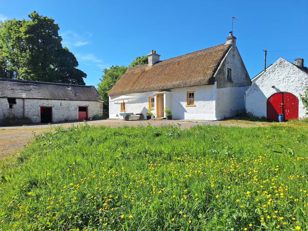 OutlinedCastle, unclassified · 59 yd
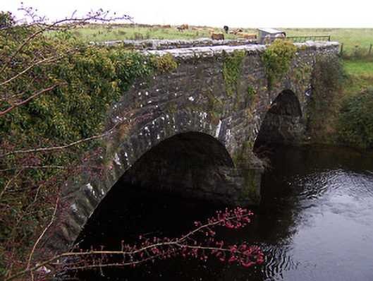 Ballinalack Bridgebridge · 97 yd
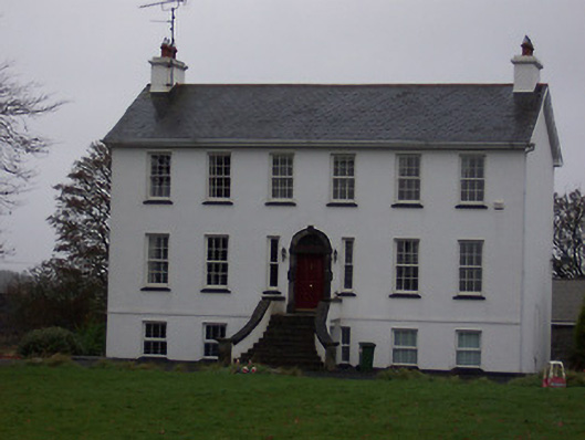 Ballinalack Househouse · 272 yd
 CastleCastle, unclassified · 1616 yd
 Partially hachuredFairy fort / earthen ringfort · 1.2 mi
 Crannog in Cullenhugh,lough IronCrannog · 1.3 mi
 Baronstown ForestWood · 2.6 mi
 Horse-chestnutHorse-chestnut · 2.6 mi
 Carrickphilbin IslandIslet · 5.3 mi
 Srudarra IslandIslet · 5.9 mi
 Rock of CurryCliff · 9.2 mi
 Granard MotteMotte-and-bailey castle remains · 10 mi