
What is recorded here
Castle Field in Athgarrett hides a vanished stronghold beneath ordinary tillage. Taylor's Map of County Kildare placed it there in 1783, yet no wall or trench remains for modern eyes. When men cleared the soil in 1986, pewter plates, a medieval tile and broken cauldrons emerged, proving that the field still remembers the castle even though the land has forgotten its shape.
Although not recorded on any edition of the OS mapping, Taylor's Map of County Kildare (1783) shows a castle in this area. In tillage at the SW foot of a steep hill. In 1986, during clearance works in a field known locally as 'Castle Field', a hoard of pewter plates, a medieval tile, portions of two cauldrons and an undated token were found (NMI file). While no visible surface trace of a castle survives, the finds suggest it may have stood in this general area. (De Burgh 1896, 315)
Compiled by: Gearóid Conroy
Date of upload: 23 July 2012
The monument record does not grant public access. Check the route and ask the landowner before entering private land.
- What survives
- Recorded monument
Places near here
 Holy well in AthgarrettHoly well · 161 yd
 IndicatedEnclosure · 431 yd
 Catholic Church of the Immaculate Conceptionchurch/chapel · 1.1 mi
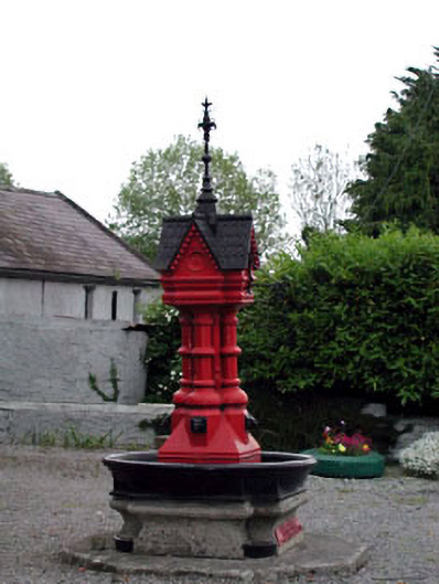 Tickell Memorial Fountainfountain · 1.1 mi
 Deer Park PlantationForest · 1.1 mi
 Blackhall Castle (in Ruins)Castle, tower house · 1.4 mi
 Blessington DemesneWood · 1.6 mi
 The Square RenewalMemorial · 2.1 mi
 Councillor Jim MileyMemorial · 2.1 mi
 Rathmore MoatCastle, motte and bailey · 2.1 mi
 Cupidstown HillMountain / peak · 4.2 mi
 Lacken – Mass Path LoopWalking route · 4.8 mi
Other information
Photo: Credit not shown · Copyright shown; no reuse licence shown