What is recorded here
Castle in Tullystown was a tower house when James Nugent held it in 1641, but most of its proud height has vanished into ordinary farm walls. Its old stones still stand behind new buildings, hiding a chamber, a fireplace and perhaps a guard room beneath layers of later life. What is missing is not nothing; it is the shape of the house before it was changed.
Depicted as a tower house type castle in the townland of Ballintullagh [Tullystown] on the 1657 Down Survey map of Fore Barony (NLI, MS 723-4). The terrier of the 1657 Down Survey recorded that the owner of the castle and lands of Ballintullagh [Tullystown] in 1641 was James Nugent who is listed as an English Protestant (ibid.).
The remains of a poorly preserved rectangular-shaped tower house (approx. int. dims. 6m N-S x 4.8m E-W) survives in the farmyard to the S of Tullystown House. All that remains upstanding are the S and W walls of the tower house which have been incorporated into a range of post-1700 farm buildings. The tower house may have stood three storeys high and has rounded corners visible on the SW angle with a base batter visible on the W wall (L 7.2m; H c. 7m; wall T 1.2-1.4m). No windows visible in the ground floor of the upstanding walls, a niche is visible in the S wall. A broken out fireplace and chimney flue has been inserted into the internal face of the S wall (L 8.5m; H c. 7m) in a second building phase. At first floor level there is evidence of a blocked-up window in the W wall. The chimney flue of the inserted fireplace cuts across an original window of which a single window splay still survives in the S wall at first floor level. Cut-stone from the tower house has been re-used in the construction of the post-1700 farm buildings. A square-headed slit window of 15th or 16th century style has been re-used in one of the farm buildings. It has been suggested that the walled garden to the W of the tower house incorporates portions of the original bawn wall (WM001-014001-). To the N of the castle is Tullystown House, an early 19th century house of 2 storeys over a basement 3 bays with a central breakfront & good doorway with fanlight & sidelights.
Compiled by: Frank Coyne and Caimin O'Brien
Date of upload: 16 November 2016
The tower house in Tullystown was likely built in the 17th century, as recorded in the 1657 Down Survey, and may have been held by local landowners during the turbulent period following the Irish Confederate Wars. It is remembered as an example of early modern defensive architecture in Ulster.
The monument record does not grant public access. Check the route and ask the landowner before entering private land.
- What survives
- Recorded monument
Places near here
 Tullystown Househouse · 39 yd
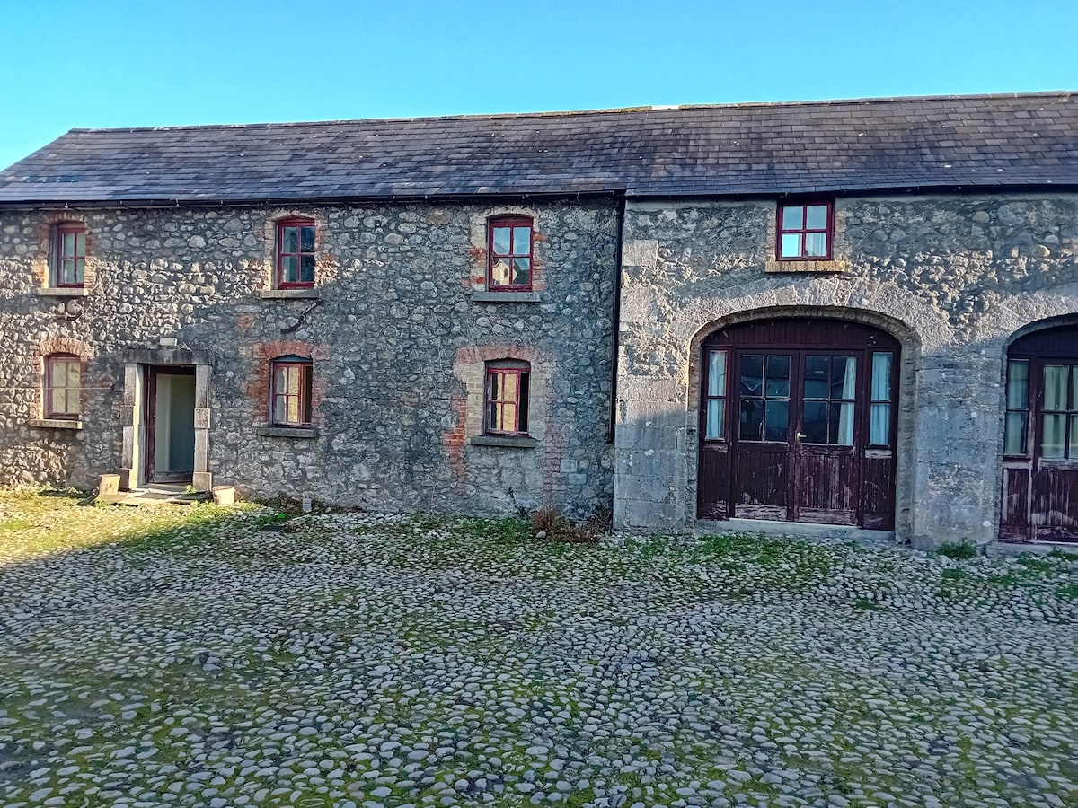 Bawn in TullystownBawn · 39 yd
 OutlinedFairy fort / earthen ringfort · 465 yd
 IndicatedFairy fort / earthen ringfort · 480 yd
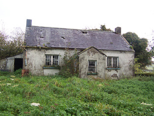 Tullystown National Schoolschool · 1074 yd
 CastleCastle, motte · 1734 yd
 MullaghmeenMountain / peak · 1.2 mi
 Fox CovertForest · 1.4 mi
 Mullaghmeen White WalkWalking route · 1.6 mi
 Ross BayBay · 1.6 mi
 Muldarry PointHeadland · 1.7 mi
 Mullaghmeen Red WalkWalking route · 1.8 mi