What is recorded here
Mortared castle replaced a wooden motte in Tullowphelim during the thirteenth century. Dineley drew it around 1680 with two rounded towers, a rectangular court and a gabled house. Nothing visible remains now, but the shape is preserved in that sketch: a compact Anglo-Norman stronghold, built to be defended and lived in, then erased by time.
The following description is derived from the published 'Archaeological Inventory of County Carlow' (Dublin: Stationery Office, 1993). In certain instances the entries have been revised and updated in the light of recent research.
Date of upload/revision: 17 July 2007
Replaced motte (CW008-045002-) probably in thirteenth century. Dineley's sketch of c. 1680 shows castle with entrance between two rounded towers, possibly gatehouse similar to Ballyloughan (CW019-018----), with rectangular court and gabled house attached. No visible trace. (Bradley 1989, 68-9)
This remains an important historical record, but the official description says the monument is no longer visible or has been destroyed. The monument record does not grant public access. Check the route and ask the landowner before entering private land.
- What survives
- No visible remains or recorded as destroyed
Places near here
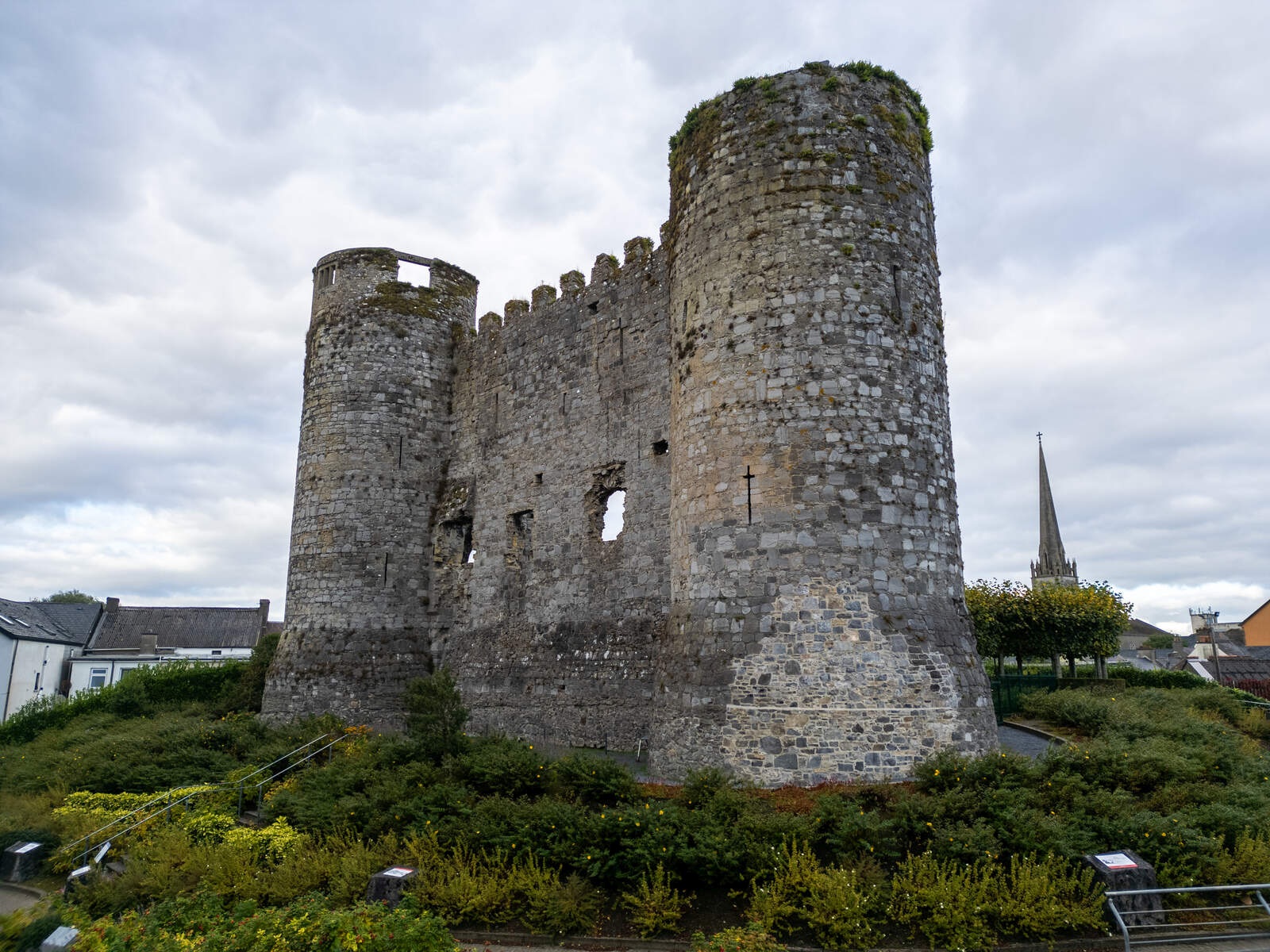 CastleCastle, motte · 1 yd
 Saint Columba's Church (Tullowphelim)church/chapel · 40 yd
 Church in TullowphelimChurch · 41 yd
 CrossCross, High cross (present location) · 420 yd
 Marked as Abbey (site of)Religious house, Augustinian friars · 441 yd
 European ashEuropean ash · 1.3 mi
 Coppenagh CastleCastle, tower house · 1.8 mi
 Rath WoodForest · 2.7 mi
 Acaun Church (in ruins), GraveyardChurch · 4.2 mi
 Kilmurry Church (in ruins), GraveyardChurch · 4.3 mi
 Altamont House and GardensHeritage attraction · 4.8 mi
 Altamont Gardens MapVisitor information · 4.8 mi