What is recorded here
Egmont House sits on the castle site of the Mac Donagh Mac Carthys, though the road between it and Allow River may have consumed the real foundations. A low earthen bank still curves through overgrown pasture on the east bank, while the rest has vanished under vegetation and memory. The castle did not disappear all at once; it was probably moved into the house, road and pasture in pieces.
In level pasture, on E bank of Allow River. Heavily overgrown area with earthen bank visible (H 0.4m) curving NE->SE; remainder of area inaccessible owing to overgrowth. No visible remains of castle. According to Bowman (1934, 188), Egmont House, c. 75m to W across river, is built on site of castle. Healy (1988, 325) was informed locally that road between river and house was built on castle site. Castle of the Mac Donagh Mac Carthys (Ó Murchadha 1985, 63).
The above description is derived from the published 'Archaeological Inventory of County Cork. Volume 4: North Cork' (Dublin: Stationery Office, 2000). In certain instances the entries have been revised and updated in the light of recent research.
Date of upload/revision: 14 January 2009
The monument record does not grant public access. Check the route and ask the landowner before entering private land.
- What survives
- Recorded monument
Places near here
 Enclosure in Curragh (duhallow By., Clonfert Par.)Enclosure · 293 yd
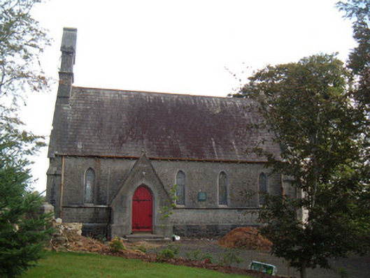 Saint Peter's Church (Clonfert)church/chapel · 545 yd
 Burial ground in Curragh (duhallow By., Clonfert Par.)Burial ground · 568 yd
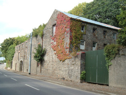 Quarry House Millmill (water) · 744 yd
 Hanna SheehyMemorial · 858 yd
 Kanturk CastleHeritage attraction · 1.4 mi
 Ballyheen Castle (Site of)Castle, unclassified · 2.4 mi
 Burial ground in AssolasBurial ground · 2.7 mi
 European YewEuropean Yew · 2.9 mi
 CastleCastle, unclassified · 3.2 mi
 St Fursey's WellSpring · 3.5 mi
 Stanner's Glen, Priory WoodWood · 3.6 mi