What is recorded here
De la Sale held 173 acres at Salestown in 1640, a small castle and decayed chapel beside nine tenements. The rectangular stone box still stands on level Meath ground, its vaulted first floor and narrow chamber waiting for the stair and life that time has taken.
Situated on a level landscape, with the church at Salestown (ME050-025----) c. 600m to the NW. According to the Civil Survey (1654-6) 173 acres at Salestown in Dunboyne parish were owned by a Mr. De la Sale in 1640, and on the premises was ‘one small castle, one decayed chaple and nine tenements’ (Simington 1940, 125). This is a rectangular structure (ext. dims 7.2m NW-SE; 6.1m NE-SW) surviving to the top of the vault with almost all the dressed stone removed. It is entered through a round-headed doorway towards the N end of the NW wall, which is probably the inner doorway from a lobby that has been destroyed. The doorway leads directly into a ground floor chamber with two arched recesses in the SW wall, probably for lights that are now closed and obscured, and one on the NE wall that has traces of a chimney flue. Much of the NW and the SE walls are damaged but, there is a single light towards the E end of the SE wall. The first floor is under a NW-SE barrel-vault with wicker-centring and was supported on corbels in the NE and SW walls. It has a light in the SE wall, but the NW wall is destroyed and if there was a stairs at the N angle there is no evidence of it now. Any upper floors do not survive and the top of the vault is completely overgrown.
The above description is derived from the published 'Archaeological Inventory of County Meath' (Dublin: Stationery Office, 1987). In certain instances the entries have been revised and updated in the light of recent research.
Compiled by: Michael Moore
Date of revision: 13 July 2016
Built by the De la Sale family in the early 17th century, Castle Salestown is remembered for its historical association with the De la Sale lineage, who were prominent landowners in the region. The castle and estate are noted in the Civil Survey of 1654–5, highlighting its significance in the local landholding structure during the 17th century.
This remains an important historical record, but the official description says the monument is no longer visible or has been destroyed. The monument record does not grant public access. Check the route and ask the landowner before entering private land.
- What survives
- No visible remains or recorded as destroyed
Places near here
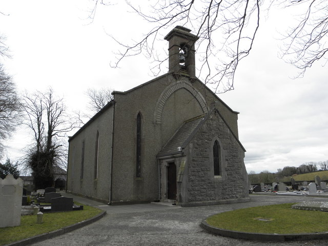 Church in OldcartonChurch · 999 yd
 Concentric enclosure in SalestownConcentric enclosure · 1099 yd
 Ash HillMountain / peak · 1230 yd
 IndicatedHoly well · 1233 yd
 CastleCastle, motte · 1.0 mi
 Hanwood GardensHeritage attraction · 1.1 mi
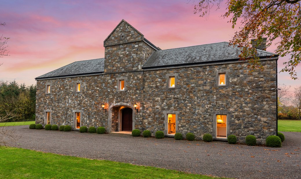 Ballymacoll HouseRuins · 1.2 mi
 Lebanon CedarLebanon Cedar · 1.3 mi
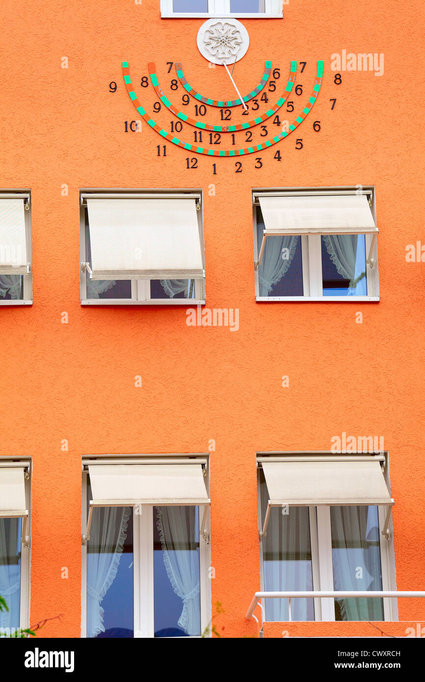 Sun clockMemorial · 1.4 mi
 HermesMemorial · 1.4 mi
 European YewEuropean Yew · 1.6 mi
 Moygaddy Tower HouseRuins · 1.9 mi