
What is recorded here
Located on a fairly level landscape. This is an oval grass-covered enclosure (dims 37m E-W; 25m N-S) defined by an earthen bank (Wth of base 3-6m; int. H 0.6-0.8m; ext. H 1.6m at E), with an external fosse (at E: Wth 3m; ext. D 0.8m) WNW-E which continues S from the E point while the bank completes the enclosure to SW. There is a wide entrance gap (Wth 16m) in the earthen bank at W. This enclosure is within a large circular enclosure (diam. c. 90m) defined by a field bank and outer fosse (at ENE: Wth of top 5m; int. D 0.8m) NW-ENE, with a low bank and external fosse ENE-S-WNW. An entrance is not identified in the outer enclosure, but the interior is cut by smaller silted ditches connecting with the fosse of the inner enclosure.
The above description is derived from the published 'Archaeological Inventory of County Meath' (Dublin: Stationery Office, 1987). In certain instances the entries have been revised and updated in the light of recent research.
Compiled by: Michael Moore
Date of upload: 10 July 2007
Amended: 29 October 2021
The monument record does not grant public access. Check the route and ask the landowner before entering private land.
- What survives
- Recorded monument
Places near here
 Enclosure in KilgraigueEnclosure · 1078 yd
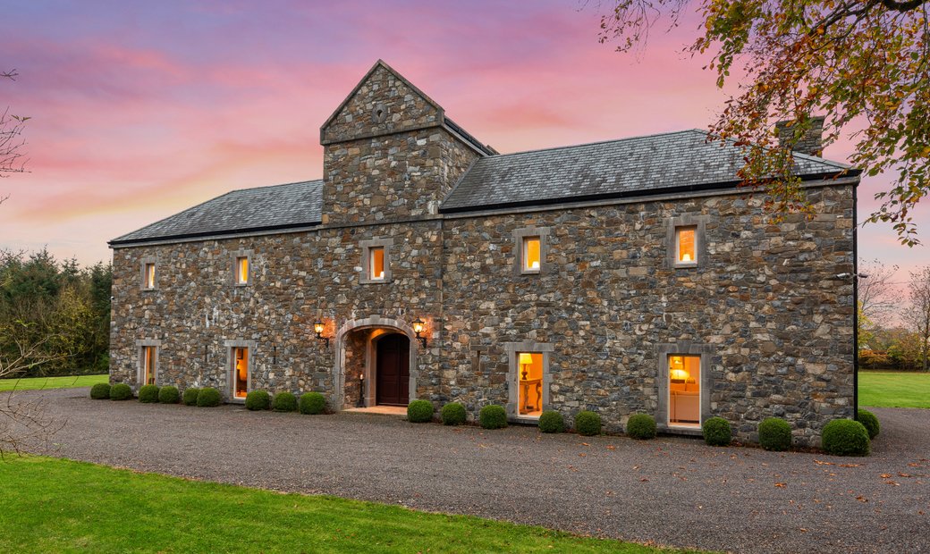 Ballymacoll HouseRuins · 1347 yd
 Ash HillMountain / peak · 1406 yd
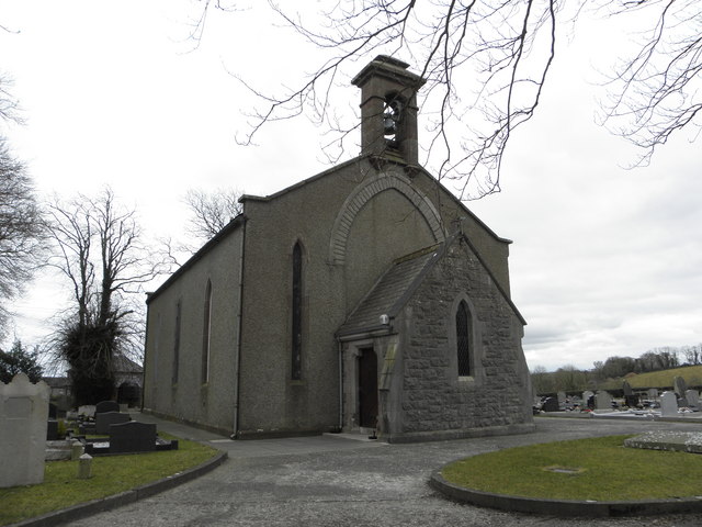 Church in OldcartonChurch · 1736 yd
 Hanwood GardensHeritage attraction · 1.1 mi
 IndicatedHoly well · 1.1 mi
 CastleCastle, motte · 1.5 mi
 Lebanon CedarLebanon Cedar · 1.6 mi
 HermesMemorial · 1.7 mi
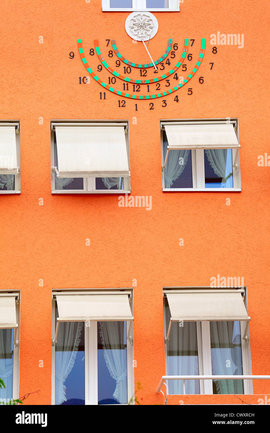 Sun clockMemorial · 1.7 mi
 Moygaddy Tower HouseRuins · 1.9 mi
 European YewEuropean Yew · 2.0 mi
Other information
Photo: Credit not shown in the picture search · Rights wording not checked; contact us if this picture should be removed