What is recorded here
Situated on the coast road southeast of Malahide Village. This three-storey tower house is square in plan with stepped battlements and projecting angle tower in the northwest. It is built of coursed masonry with dressed quoins. The parapet level is marked by a string course. There is a slight base batter. The entrance on the W side is masked by a Victorian residence. The ground floor is vaulted with wicker-work centring (Anon, 1897, 456). A spiral stairs provides access to the upper floors in the angle tower. Garderobe off first floor. There are angle loops in the southeast and southwest on the second floor. Described in the Civil survey (1654-6) as a castle with a thatched house adjoining (Simington 1945, 176).
Compiled by: Geraldine Stout
Updated by: Christine Baker
Date of upload: 17 January 2015
Built in the late 16th century, Castle Robswalls was likely held by the Talbot family, who were prominent in the area during the Tudor period. Its strategic coastal location near Malahide suggests it played a role in local defense and territorial control.
The monument record does not grant public access. Check the route and ask the landowner before entering private land.
- What survives
- Recorded monument
Places near here
 Robswall Castlehouse · 4 yd
 Burnt mound in RobswallsBurnt mound · 381 yd
 Patricks WellHoly well · 422 yd
 High RockViewpoint · 564 yd
 ChurchRuins · 578 yd
 Malahide BeachBeach / strand · 847 yd
 MoatCastle, motte and bailey · 1572 yd
 Black WoodWood · 1655 yd
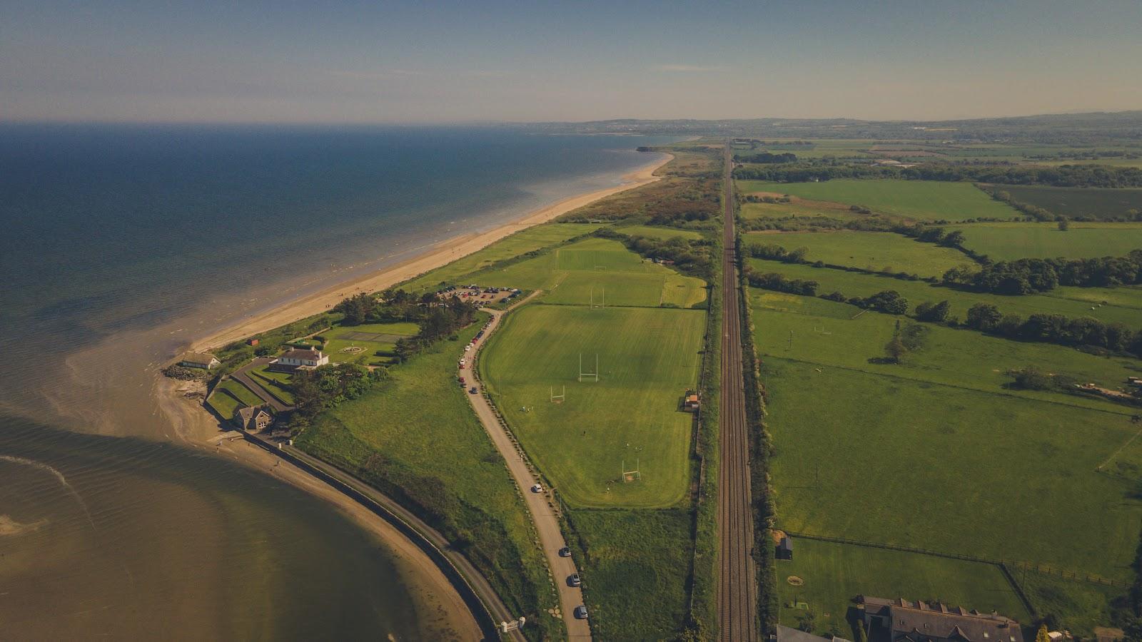 Corballis Nudist BeachBeach / strand · 1.1 mi
 Welcome To MalahideVisitor information · 1.2 mi
 Casino Model Railway MuseumMuseum · 1.3 mi
 Malahide Castle Demesne Church (Ruin)Ruins · 1.5 mi