What is recorded here
Knockuragh castle is a broken ring and long chamber on a wet hill, its wide bank tilted inward as if listening. The waterlogged ditch still holds rain, the pasture covers ancient footsteps, and the fulachta fia stones wait below for hands that know when to heat them. What is missing is not loss but patience, for the shape is complete enough to enter and occupy.
In improved pasture, near top of NW-facing slope, with a pond to the SW and an old stream bed to S. Fulachta fia (TS063-075----, TS063-076---- and TS063-077----) are located c. 70m to S and 90m and 100m to the SSW respectively. A circular area (dims. 42m N-S; 40m E-W) defined by scarp (Wth 2.2m; H 1.8m) which is partially obscured by overgrowth, a substantial and waterlogged intervening fosse (basal Wth 4.5m; overall Wth 9.45m; D 1.8m) and a large intervening bank (Wth at top 6.5m; overall Wth 12.4m; int. H 2.15m; ext. H 2.2m) has a sloping top (H 0.25m) which tilts inwards. The top of the bank in the SW sector appears to be slightly modified to form a possible walkway defined by an inner and outer bank. In the SE and SW sectors the external face of the bank is badly eroded and at NNE the wide bank opens out to form an L-shaped bailey (L 15m c. N-S) with a long return (L c. 18m) c. E-W defined by a much narrower bank on either side. The bank is eroded and reduced to scarp along the N side with an outer fosse (basal Wth 2.5m; overall Wth 11.15m; D 1m). The interior is obscured by dense overgrowth.
Compiled by: Jean Farrelly
Date of upload: 26 August 2011
The monument record does not grant public access. Check the route and ask the landowner before entering private land.
- What survives
- Recorded monument
Places near here
 Knockuragh HillMountain / peak · 968 yd
 (Site of) Drangan CastleCastle, unclassified · 1063 yd
 Dangan Church (in ruins)Church · 1237 yd
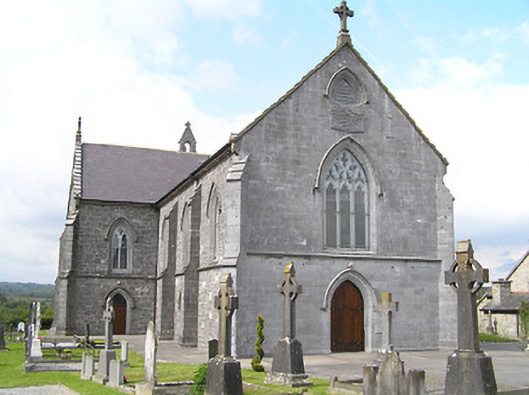 Catholic Church of the Immaculate Conceptionchurch/chapel · 1247 yd
 Site of ChurchChurch · 1630 yd
 Enclosure in Knockroe (drangan Par.)Enclosure · 1.0 mi
 CastleCastle, ringwork and bailey · 2.0 mi
 Eagle HillMountain / peak · 2.5 mi
 Fenane WoodForest · 2.5 mi
 Silver FirSilver Fir · 3.6 mi
 Slieveardagh Heritage CentreVisitor information · 4.8 mi
 The SpoutMemorial · 6.0 mi