What is recorded here
Castle, ringwork and bailey in Ballyherberry,curraghtarsna stands on a south-facing slope where tillage and pasture still mark the horizon. Its round earthwork, water-logged ditch and outer bank form a small defensible chamber, while a broader bailey stretches east and south behind it. The causeway, protruding stones and dished interior suggest people entered, worked and lived there under open sky. Much of its history has faded, but the shape remains: a place made to be seen, defended and used.
On S-facing slope in gently undulating terrain. Tillage to N and E, pasture to S and W. Possible ringwork (diam. 29m N-S; 28.6m E-W) enclosed by an earthen bank (Wth 2.5m crest, 5.1m base; int. H 1m, ext. H 2.1m), wide, flat-bottomed water-logged fosse (Wth 2.1m; D 2.39m) and outer bank (Wth 1.3m crest, 5.4m base; ext. H 0.45m), which is reduced to counterscarp in the SE quad. The banks fall steeply to the fosse. Causeway entrance in the ENE quad. (Wth 3.7m), with stones protruding from the causeway and the outer bank. There is a later smaller causeway in the NNE quad. with no corresponding break in the inner bank. Trees, brambles and scrub growing in interior, which has a slightly dished profile. The E (dims. outer bank of ringwork to bank of bailey 7.4m) and S (dims. NNW-SSE from outer bank of ringwork to bank of bailey 37m) sides of the ringwork are enclosed by a bailey. This is defined on the E side by an earthen bank (Wth 1.2m crest, 4.6m base; int. H 1.24m; ext. H 2.66m) and U-shaped fosse (Wth 1.9m; D 1.05m). The W side of the bailey is defined by a field boundary.
Compiled by: Jean Farrelly
Date of upload: 26 August 2011
The monument record does not grant public access. Check the route and ask the landowner before entering private land.
- What survives
- Recorded monument
Places near here
 Enclosure in MagorbanEnclosure · 808 yd
 Enclosure in CurraghtarsnaEnclosure · 837 yd
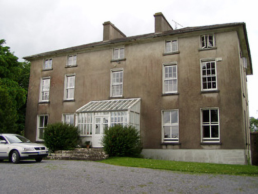 Silverfort Housecountry house · 1139 yd
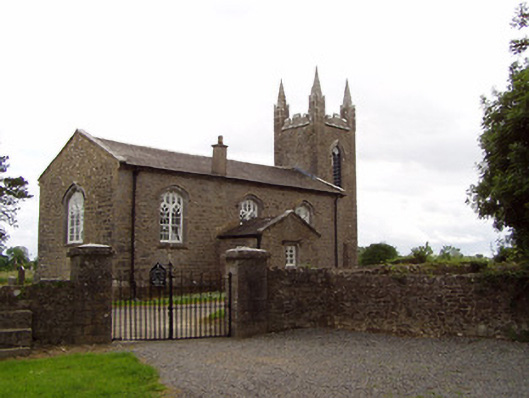 Church of the Holy Spirit (Magorban)church/chapel · 1552 yd
 CastleCastle, tower house · 1.3 mi
 The GarrisonCastle, tower house · 1.3 mi
 Ballyknock HillMountain / peak · 4.0 mi
 Cashel Folk MusuemMuseum · 4.8 mi
 Black mulberryBlack mulberry · 4.9 mi
 The Rock Of CashelVisitor information · 4.9 mi
 Cormac's ChapelHeritage attraction · 4.9 mi
 European YewEuropean Yew · 5.3 mi