
What is recorded here
Castle is a small, steep-sided mound in Twyford pasture, likely a motte or burial place hidden beneath impenetrable vegetation. It stands about three to four metres high, with a flat top and no clear surrounding ditch. A field fence passes beside its base, while trees and grass have taken back the summit. People may have lived, buried or forgotten there before the land became ordinary again.
Situated on a low rise, in undulating pasture, c. 20m to SW of a townland boundary. Depicted on the revised 1910 ed. OS 25-inch map as a circular-shaped earthwork (approx. dims. 15m NE-SW; 14m NW-SE). Monument described in 1980 as a small high steep-sided circular-shaped flat-topped mound (H 3-4m) of earth and stone. The summit is fairly flat and the monument is overgrown with impenetrable vegetation, which prevented a detailed inspection. There is no definite trace of an external fosse around the base of the mound. A field fence flanks the base of the earthwork to NW. The classification of this monument is uncertain and may be the remains of a small motte or possible burial mound. Monument is visible today as a tree-planted earthwork on Digital Globe aerial photography.
Compiled by Alison McQueen, Vera Rahilly and Caimin O’Brien.
Date of upload: 07 November 2019
The monument record does not grant public access. Check the route and ask the landowner before entering private land.
- What survives
- Recorded monument
Places near here
 Belvillegate lodge · 994 yd
 Site of MonasteryEcclesiastical site · 1137 yd
 Twyford Housefarmyard complex · 1165 yd
 IndicatedCastle, motte · 1174 yd
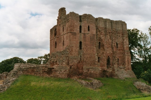 Partially hachuredFairy fort / earthen ringfort · 1437 yd
 Old Castle (in ruins)Castle, unclassified · 1.1 mi
 Thatch IslandIslet · 3.6 mi
 Crannells NookBay · 3.9 mi
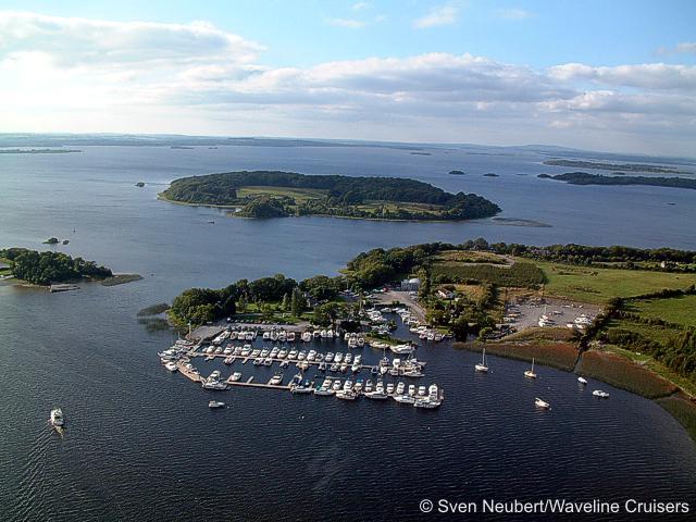 Killinure PointHeadland · 4.0 mi
 Green IslandIslet · 4.5 mi
 Athlone Music MuseumMuseum · 4.5 mi
Other information
Photo: Credit not shown in the picture search · Rights wording not checked; contact us if this picture should be removed