What is recorded here
Castle is a high steep-sided flat-topped motte in Templanstown, County Westmeath, where wall footings may still mark a lost building on its summit. It rises like a buried room waiting to be remembered, perhaps a watchtower, a home or a boundary marker for whoever controlled the land below. The mound does not need a name repeated to be known; it shows its shape every time light strikes it.
Outline of high steep-sided flat-topped mound with possible wall footings of a building on the summit of the mound visible on Google earth aerial imagery and Digital Globe aerial photos.
See attached image taken from Google Earth aerial photographs taken 24/03/2017
Compiled by: Caimin O'Brien based on details provided by Jean-Charles Caillère
Date of upload: 6 March 2020
The monument record does not grant public access. Check the route and ask the landowner before entering private land.
- What survives
- Recorded monument
Places near here
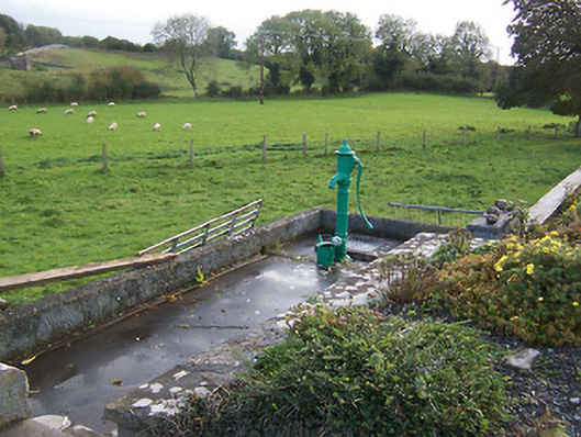 water pumpwater pump · 152 yd
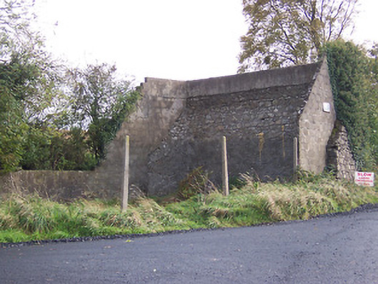 handball alleyhandball alley · 195 yd
 IndicatedFairy fort / earthen ringfort · 769 yd
 Parially HachuredFairy fort / ringfort · 825 yd
 Hilltown Castle (in ruins)Castle, tower house · 917 yd
 CastleCastle, unclassified · 1.6 mi
 European BeechEuropean Beech · 1.9 mi
 Mullaghmeen ForestPicnic place · 2.4 mi
 European ashEuropean ash · 3.1 mi
 Seafin HillMountain / peak · 3.3 mi
 Rock of CurryCliff · 3.4 mi
 Zip WireHeritage attraction · 4.3 mi