What is recorded here
From the National Monuments Service (Archaeological Survey of Ireland) record LH011-052
Places near here
Photo credits
- Mike Searle, Geograph · CC BY-SA 2.0
- Individual photographer not stated, www.stbridesgfc.com
- National Inventory of Architectural Heritage
- Maker not stated on source page, commons.wikimedia.org
- Maker not stated on source page, co.pinterest.com
- Maker not stated on source page, www.dreamstime.com
- Maker not stated on source page, en.wikipedia.org
- Eric Jones, Geograph · CC BY-SA 2.0
- Dundalk99, Wikimedia Commons · CC BY-SA 4.0
- Garry Dickinson, Geograph · CC BY-SA 2.0
 Stephenstown HouseCountry house · 520 yd
Explorer Tom Stephenstown House in Stephenstown was designed by a mother-in-law who wanted to see everyone over her shoulder from…
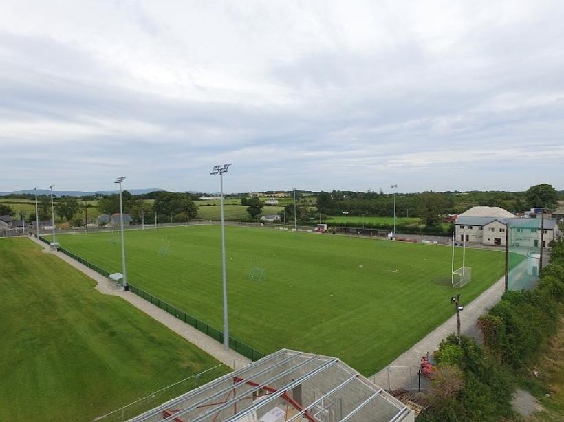 St. Brides GAAGAA ground · 986 yd
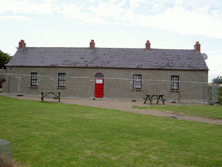 Agnes Burns CottageHouse · 1121 yd
Explorer Tom Agnes Burns Cottage would post a selfie with Robert Burns’ ghost and caption it 'Family time in Louth' without a second…
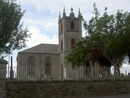 Saint Mary's Catholic ChurchChurch/chapel · 1.0 mi
Explorer Tom Saint Mary's in Bellurgan hears everything through its walls. Harry Clarke did the glass, which is fancy stuff. Give it…
 Mapped cemeteryCemetery · 1.0 mi
Explorer Tom Mapped cemetery in County Louth is rumored to have a hidden tunnel that leads directly to the best pub in town, but…
 Linear earthwork in Rathneety (louth By; Killincoole Par.)Linear earthwork · 1.2 mi
Explorer Tom Linear earthwork in Rathneety is a seventy-meter line of cropmarks that acts like it’s drawing a border with its…
 Standing stone in GrangeStanding stone · 1.2 mi
Explorer Tom Standing stone in Grange refuses to fall down because it thinks gravity is a personal insult that only applies to…
 Killincoole GraveyardGraveyard · 1.8 mi
Explorer Tom Killincoole Graveyard in County Louth has a secret talent for making people feel like they’ve stepped onto a movie set…
 Railway MuseumMuseum · 3.8 mi
Explorer Tom Railway Museum is confusing the map makers because it keeps moving its location in their heads, probably just to keep…
 Dundalk CentralHeritage attraction · 3.8 mi
Explorer Tom Dundalk Central in County Louth would be the uncle at a wedding who knows all the train schedules but forgets his own…
 Castletown MotteArchaeological place · 4.1 mi
Explorer Tom Castletown Motte has squeezed a fort, an underground passage and a rich man's folly onto one Dundalk hill. No wonder it…
 CastleCastle, tower house · 4.4 mi
Explorer Tom Castle in Castletown ended up here because Richard Bellew got confused about which side of town was cool. It’s a tower…
More castles and forts in County Louth · All of County Louth

What do you know about this place?Tap to add a comment or ask a question