
What is recorded here
Adam de Feipo received Skreen from Hugh de Lacy around 1172 and probably made the hill his central seat. He raised a broad earthen mound on the south-facing slope, close enough for the castle to appear within moments yet far enough to give the land room to breathe. Deciduous trees still hide its flat top, but the shape remains clear: a made hill, built to be seen and remembered.
Hugh de Lacy granted the barony of Skreen to Adam de Feipo by c. 1172, and Adam probably made Skreen its caput or centre (Otway-Ruthven 1964). It is situated on a S-facing slope of the hill c. 300m S of the Columban church (ME032-047003-). This is a flat-topped earthen mound (diam. of top 15m; diam. of base 40m; H 6m) planted with deciduous trees. The castle (ME032-047002-) is c. 80m to the NNE.
The above description is derived from the published 'Archaeological Inventory of County Meath' (Dublin: Stationery Office, 1987). In certain instances the entries have been revised and updated in the light of recent research.
Date of revision: 2 June 2016
Built by Adam de Feipo by c. 1172 as the caput of the barony of Skreen, granted to him by Hugh de Lacy. The site is historically significant as part of the Anglo-Norman colonization of Ireland and is associated with early medieval land administration in the region.
The monument record does not grant public access. Check the route and ask the landowner before entering private land.
- What survives
- Recorded monument
Places near here
 Skreen CastleCastle, tower house · 111 yd
 ChapelChurch · 270 yd
 Enclosure in SkreenEnclosure · 305 yd
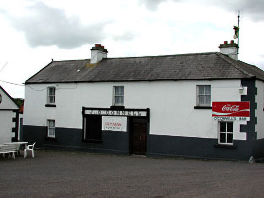 J. O'Connellhouse · 458 yd
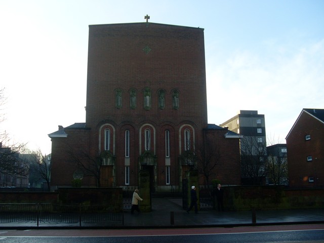 St. Columbkilles WellHoly well · 721 yd
 Candle HillMountain / peak · 1406 yd
 Clusker Wood NorthWood · 1.8 mi
 The Pond WoodWood · 1.9 mi
 Tara Open StudioGallery · 1.9 mi
 Hill of TaraVisitor information · 2.0 mi
 Saint Patrick'sMemorial · 2.0 mi
 Battle of Tara Hillbattle · 2.1 mi
Other information
Photo: Credit not shown in the picture search · Rights wording not checked; contact us if this picture should be removed