
What is recorded here
Castle, motte in Clonwalsh is a low, flat-topped mound standing in the middle of a tillage field, its steep scarps still rising more than two metres above the surrounding ground. A river flows about 120m to the north, and the removed fields on either side have exposed the mound as the clearest mark left behind. Whatever tower or household once used it has vanished, but the shape remains: a made hill, built large enough to be seen and defended, now feeding nettle and scrub instead of memory.
On flat ground sloping very gently to N in undulating terrain. Currently in centre of tillage field, fields depicted on the 1904 ed. OS 6-inch map to N and S have been removed. River flowing E-W c. 120m N of monument. Low motte which consists of a flat-topped, roughly circular mound (diam. at top 22m N-S; 20m E-W; diam. at base 33m N-S; 34m E-W), defined by steep scarp (H 2.12-2.42m S and W quad. respectively). Top is relatively clean, though nettle covered. Scrub growing around edge. Small area of disturbance into side of mound in the SW quadrant.
Compiled by: Jean Farrelly
Date of upload: 26 August 2011
The monument record does not grant public access. Check the route and ask the landowner before entering private land.
- What survives
- Recorded monument
Places near here
 Enclosure in Ballinvoher,ballyvaughan (kilgrant Par.)Enclosure · 765 yd
 Enclosure in Kilmore (lisronagh Par.)Enclosure · 801 yd
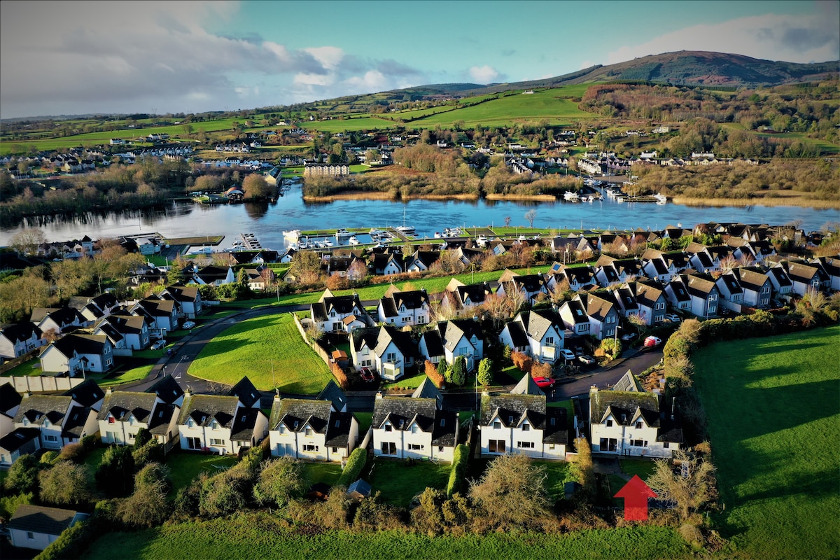 Ballina HouseCastle, unclassified · 1297 yd
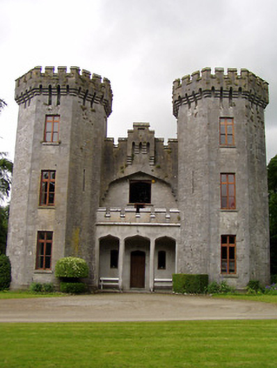 Anner Castlecountry house · 1314 yd
 Church (in ruins)Church · 1686 yd
 Common LimeCommon Lime · 1.1 mi
 Ballyboe FortCastle, motte and bailey · 1.2 mi
 BaldcypressBaldcypress · 1.2 mi
 CarrickbrockMountain / peak · 3.3 mi
 RetrospectMemorial · 3.5 mi
 Charles BianconiMemorial · 3.6 mi
 Main GuardHeritage attraction · 3.6 mi
Other information
Photo: Credit not shown in the picture search · Rights wording not checked; contact us if this picture should be removed