
What is recorded here
Castle rises a breath above the Ballynoran pasture, its oval top flat enough for a small hall or a solitary watchfire. The shallow fosse still marks the boundary between the mound and the fields, though soil and time have softened the edge. A kitchen, a guard room, or a temporary stronghold may have stood there before the stones disappeared. The grass has forgotten the building but the shape remains, holding the last measurement of human ambition in that quiet corner of Cork.
In pasture, on elevated site. Oval flat-topped mound (diam. at base: 38m E-W; 48m N-S; top of mound c. 13m E-W; 18m N-S; H c. 1.5m). Side of mound less-noticeably steep on SW side. Mound surrounded by fosse (D 0.5m); traces of outer bank NW->SE. Fosse deepest and partially infilled NW->SE, where incorporated into field boundary system. Medieval parish church of Cooliney (14414) c. 1km to NNW.
The above description is derived from the published 'Archaeological Inventory of County Cork. Volume 4: North Cork' (Dublin: Stationery Office, 2000). In certain instances the entries have been revised and updated in the light of recent research.
Date of upload/revision: 14 January 2009
The monument record does not grant public access. Check the route and ask the landowner before entering private land.
- What survives
- Recorded monument
Places near here
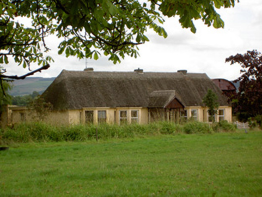 Ballynoran Househouse · 207 yd
 Moated site in ArdnageehyMoated site · 1035 yd
 Fulacht fia in Coolcaum (orrery and Kilmore By.)Fulacht fia · 1047 yd
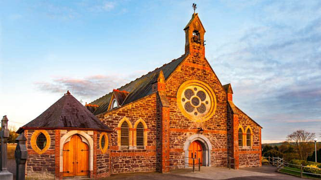 Cooliney Church (in Ruins)Church · 1114 yd
 Castle (Site of)Castle, unclassified · 2.1 mi
 Castle Harrison on Site of Castle (19*Castle, unclassified · 2.1 mi
 Ballyhoura WayWalking route · 2.6 mi
 Windmill HillMountain / peak · 2.8 mi
 Holy Cross CemeteryGraveyard · 2.8 mi
 CarrigeenMountain / peak · 3.4 mi
 BallinaboolaVisitor information · 3.8 mi
 Churchtown TrailsVisitor information · 4.4 mi
Other information
Photo: Credit not shown in the picture search · Rights wording not checked; contact us if this picture should be removed