What is recorded here
Cherry Island, a heart-shaped lough island in County Leitrim, still holds the shadow of a castle lost to water and time. O'Rourke warriors may have stood watch there before drowning claims and changing loyalties swept them elsewhere, leaving only a rectangular stone box and a buried kiln for ghosts to haunt. The lake keeps its secrets close, but the ruins prove that even forgotten places once bled, raged and belonged.
Situated in woodland towards the NW corner of the heart-shaped Cherry Island (dims c. 280m N-S; 250m E-W), formerly known as Hog Island or Inis na dTorc, in Garadice Lough, formerly called Lough Finvoy. In 1257 Con, the son of Tiernan O'Rourke gave the island, described as fortified, to O'Conor (AFM), but It is thought to have been an O’Rourke castle until they transferred their centre to Drumahaire (LE014-009----) and north Leitrim after 1418, in which year Owen, the son of Tiernan Mór O’Rourke, was drowned while returning from a visit to his dying father at Inis-na-dTorc (AFM). By the seventeenth century the island and castle was said to have belonged to Myles ‘the Slasher’ O’Reilly, whose principal stronghold as at Crane Island (LE026-006----) at the SE edge of the lake.
The surviving structure is unlikely to date from the thirteenth century. It is a rectangular building (int. dims 19.55m E-W; 8.05m N-S) with the W wall surviving (H 2.7m; T 1.2-1.3m) best, although without the corners, while the other walls are reduced to the foundation courses. The walls are featureless, apart from some putlog holes in the W wall, and not even an entrance can be identified. It is situated within a D-shaped enclosure (dims 31m N-S; 26m E-W) defined by a stone spread with the straight E side 4m from the castle, but an entrance cannot be identified. A cairn (diam. c. 15m; H 1.5-2.5m) containing a kiln (diam. 2.1m; D 0.95m) which opens to the W is overlying the enclosure wall at W and SW of the castle. (Byrne 2007, 12; O'Conor and Fredengren 2019, 84-6; McDermott 2019, 119-20)
The above description is derived from 'The Archaeological Inventory of County Leitrim' compiled by Michael J. Moore (Dublin: Stationery Office, 2003). In certain instances the entries have been revised and updated in the light of recent research.
Date of revised upload: 6 July 2017
O’Conor, K. and Fredengren, C. 2019 Medieval settlement in Leitrim, c. 1169-c. 1380. in In Kelly, L. and Scott, B. Leitrim: History and Society, 79-101. Dublin, Geography Publications
The monument record does not grant public access. Check the route and ask the landowner before entering private land.
- What survives
- Recorded monument
Places near here
 Bawn in Cherry IslandBawn · 7 yd
 Cherry IslandIslet · 86 yd
 BatteryBawn · 536 yd
 Crane IslandIslet · 564 yd
 Church (in Ruins)Church · 1013 yd
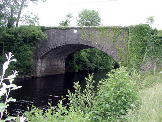 Ballinacur Bridgebridge · 1057 yd
 Enclosure in CullyEnclosure · 1147 yd
 Cross in CullyCross · 1166 yd
 Swan Island pet farmHeritage attraction · 1597 yd
 Black PoplarBlack Poplar · 1674 yd
 DerrynigginMountain / peak · 1.4 mi
 Giants GraveArchaeological place · 2.4 mi