
What is recorded here
Castlequarter holds a ruined castle on a gentle slope below Brusselstown Ring, where a stony platform still marks the oblong building drawn in 1838. The castle may have watched the moated ground or given a family a defensible home, but its rooms have returned to stone and rain. What remains is a quiet challenge: to imagine the shape of the building through the platform, the slope and the names kept alive around it.
Situated on the SE edge of a moated site (WI027-022002-) on a gentle SE-facing slope below Brusselstown Ring (WI027-018---- / WI027-078---- and WI021-080----). On the 1838 OS 6-inch map a 'Castle in ruins' is indicated by an oblong structure (dims. c. 30m NE-SW; c. 8m NW-SE). This area is now occupied by a stony platform (dims. 17.6m NE-SW; 10m NW-SE; H 0.5m) partly defined by boulders and rough walling. No surviving indication of a building.
The above description is derived from the published 'Archaeological Inventory of County Wicklow' (Dublin: Stationery Office, 1997). In certain instances the entries have been revised and updated in the light of recent research.
Date of upload/revision: 17 December 2008
The monument record does not grant public access. Check the route and ask the landowner before entering private land.
- What survives
- Recorded monument
Places near here
 Ecclesiastical enclosure in CastlequarterEcclesiastical enclosure · 87 yd
 Enclosure in CastlequarterEnclosure · 730 yd
 Saint Brigit's ChairNamed rock · 1454 yd
 Saint Brigit's Mass StoneNamed rock · 1.0 mi
 Keadeen MountainMountain / peak · 1.2 mi
 Sam McAllistair GraveMemorial · 1.2 mi
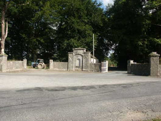 Kilranelagh Housegate lodge · 1.6 mi
 Dwyer-McAllister Cottagefarm house · 1.9 mi
 Dwyer McAllister CottageMuseum · 1.9 mi
 Site of CastleCastle, unclassified · 2.0 mi
 MoatamoyCastle, motte · 2.3 mi
 SlievereaghMountain / peak · 2.6 mi
Other information
Photo: Credit not shown in the picture search · Rights wording not checked; contact us if this picture should be removed