
What is recorded here
An oval enclosure (diam. c. 29m NW-SE; c. 26m NE-SW) indicated on the OS 1st ed. OS map, defined by a low wide bank (Wth 3-4m) except at N where the inner face of the enclosure is defined by a row of upright slabs (H c. 0.4-0.6m). A church (WI027-021001-) lies in the interior.
Compiled by: Mary Tunney
Date of upload: 15 October 2012
A local fairy fort (ringfort/rath); wider significance not recorded.
The monument record does not grant public access. Check the route and ask the landowner before entering private land.
- What survives
- Recorded monument
Places near here
 Castle in ruinsCastle, unclassified · 87 yd
 Enclosure in CastlequarterEnclosure · 658 yd
 IndicatedEnclosure · 806 yd
 Saint Brigit's ChairNamed rock · 1381 yd
 Saint Brigit's Mass StoneNamed rock · 1698 yd
 Sam McAllistair GraveMemorial · 1.2 mi
 Keadeen MountainMountain / peak · 1.3 mi
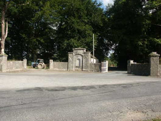 Kilranelagh Housegate lodge · 1.6 mi
 Dwyer-McAllister Cottagefarm house · 1.9 mi
 Dwyer McAllister CottageMuseum · 1.9 mi
 Site of CastleCastle, unclassified · 2.0 mi
 SlievereaghMountain / peak · 2.7 mi
Other information
Photo: Credit not shown in the picture search · Rights wording not checked; contact us if this picture should be removed