What is recorded here
Ballintruer Beg is a ruined tower house in County Wicklow, Ireland, where a steep western slope still guards the flat ground below. Uncoursed rubble rises three metres at the eastern end of the southern wall, marking the largest surviving section of the castle. The wide foundation extends westward toward a possible bawn, while a narrow gap near the south wall suggests a doorway into the lost building.
Situated on level ground at the foot of a steep W-facing slope with gentle slopes to the W and N. The remains consist of the foundations of a tower (ext. dims. 8.6m E-W; 8.5m N-S) constructed of uncoursed rubble (Wth 1.3-1.5m) with a slight base-batter. The S wall is best preserved surviving to a height of 3m at the E end. This wall continues westward possibly representing a bawn (WI021-028001-) to the W of the tower (overall length of S wall 16m) turning northwards at its W end for 3.5m. This N-S section of wall survives as a single course only. Just W of the S wall is a gap (Wth 1.5m) which may represent a doorway with a small segment of wall running E-W (L c. 2m) beyond it. The castle is located on the SE lip of an oval enclosure (WI021-028002-) (int. dims. 44m E-W; 33.5m N-S) defined by a flat-bottomed fosse (Wth 5.8m; D 0.7m). There is no evidence for a causeway or bank but there are traces of an entrance near the possible doorway in the S wall.
The above description is derived from the published 'Archaeological Inventory of County Wicklow' (Dublin: Stationery Office, 1997). In certain instances the entries have been revised and updated in the light of recent research.
Date of upload/revision: 17 December 2008
The monument record does not grant public access. Check the route and ask the landowner before entering private land.
- What survives
- Recorded monument
Places near here
 Bawn in Ballintruer BegBawn · 3 yd
 Enclosure in Ballintruer BegEnclosure · 17 yd
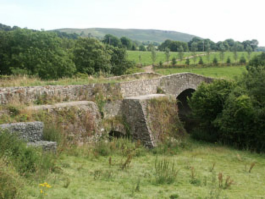 George's Bridgebridge · 476 yd
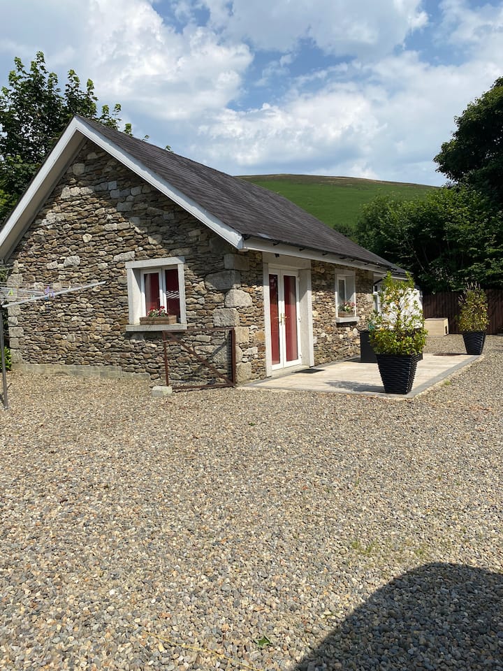 Enclosure in Ballintruer MoreEnclosure · 491 yd
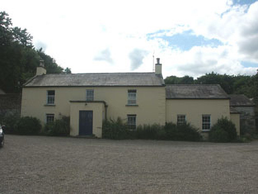 Mount Slaneyfarm house · 596 yd
 CastlerudderyCastle, unclassified · 1300 yd
 English hollyEnglish holly · 1.5 mi
 Ballyhook HillMountain / peak · 1.9 mi
 Saint Brigit's Mass StoneNamed rock · 2.2 mi
 Saint Brigit's ChairNamed rock · 2.2 mi
 Sam McAllistair GraveMemorial · 2.6 mi
 Pedunculate OakPedunculate Oak · 3.4 mi