
What is recorded here
Not visible at ground level. Depicted as 'Castle in ruins' on first edition of the OS 6-inch map (Loeber 1988, vol. 1, 5-6). Site visited in 1974 by Offaly Historical and Archaeological Society and described as ' in NW corner of a field known as the 'castle garden'. Virtually no remants of castle though a wall surrounding the field (castle garden) is made of a large no. of stones which may have been plundered from the castle site' (OHAS files 1974-5).
The above description is derived from the published 'Archaeological Inventory of County Offaly' (Dublin: Stationery Office, 1997). In certain instances the entries have been revised and updated in the light of recent research.
Date of upload: 23 May 2011
A local castle; wider significance not recorded.
The monument record does not grant public access. Check the route and ask the landowner before entering private land.
- What survives
- Recorded monument
Places near here
 Castle (in ruins)Castle, tower house · 428 yd
 Church in AghnananaghChurch · 516 yd
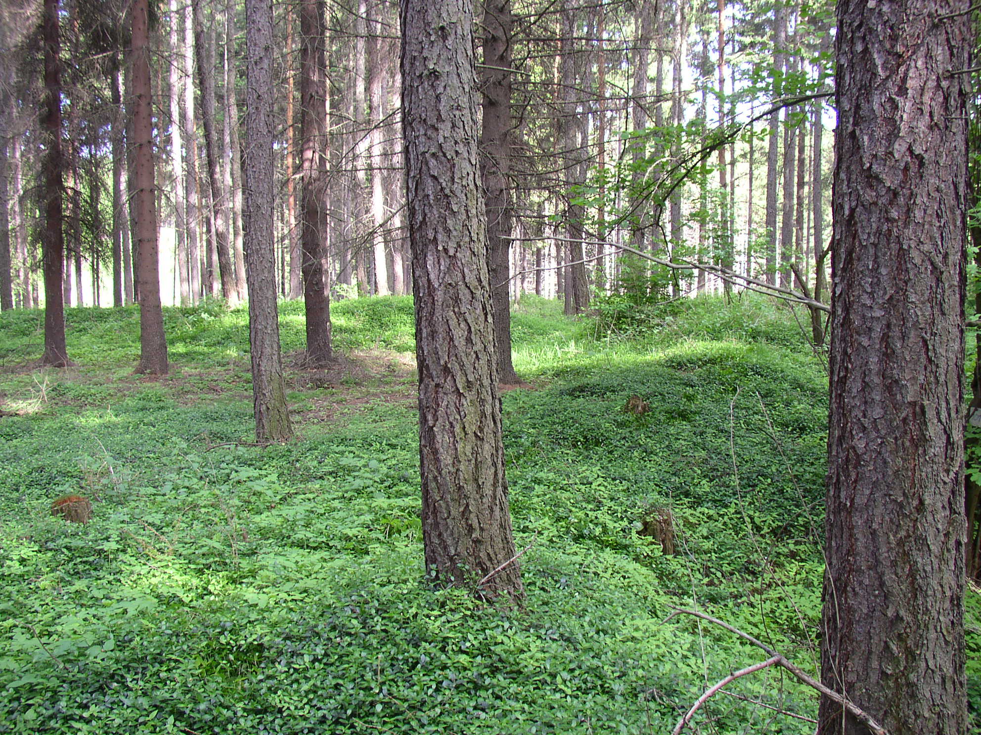 Settlement desertedSettlement deserted, medieval · 609 yd
 Burial ground in AharneyBurial ground · 924 yd
 Trumpet HillMountain / peak · 1040 yd
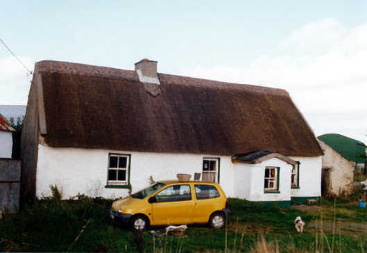 farm housefarm house · 1124 yd
 Castle in ruinsCastle, unclassified · 1533 yd
 European ashEuropean ash · 1.5 mi
 European YewEuropean Yew · 2.2 mi
 Clara Bog BoardwalkHeritage attraction · 2.7 mi
 Christ's WellSpring · 2.9 mi
 St. Columba's WellSpring · 3.0 mi
Other information
Photo: Credit not shown · Copyright shown; no reuse licence shown