
What is recorded here
The official Northern Ireland record identifies this as CASTLE (destroyed). Recorded period: LATE-MED. The official map point was placed at the centre of the recorded archaeological site from the source map reference.
A local castle; wider significance not recorded.
The monument record does not grant public access. Check the route and ask the landowner before entering private land.
- What survives
- Recorded monument
Places near here
 Newcastle Tourist Information CentreVisitor information · 77 yd
 Beach AvenueWalking route · 232 yd
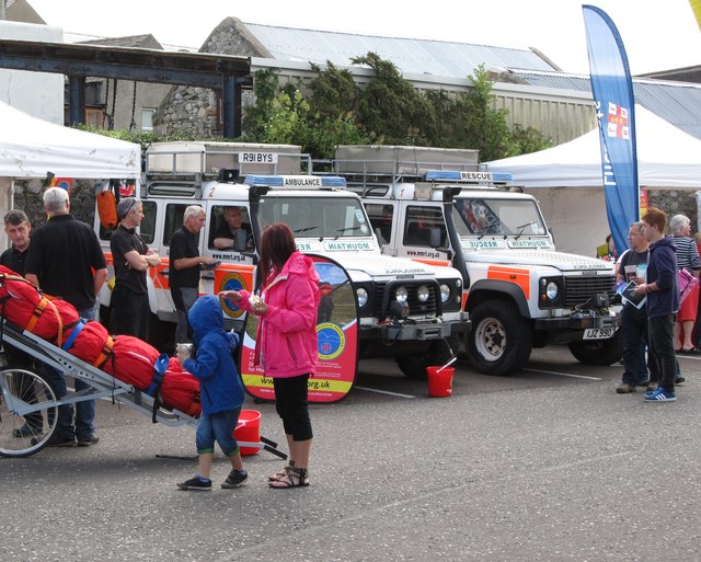 Donard Car ParkVisitor information · 461 yd
 Newcastle Presbyterian ChurchChurch · 470 yd
 Tower at former railway stationTower · 665 yd
 WWII PILLBOXWWII PILLBOX, DHP no.3 · 731 yd
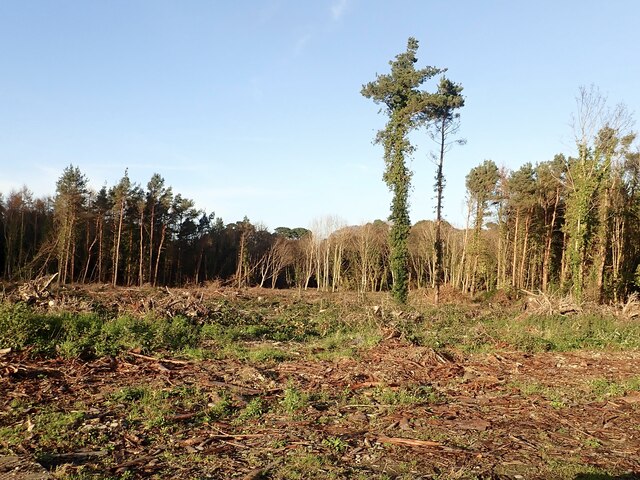 Tipperary WoodsForest · 979 yd
 Bath LaneWalking route · 1253 yd
 Donard ForestForest · 1708 yd
 DrinnahillyMountain / peak · 1759 yd
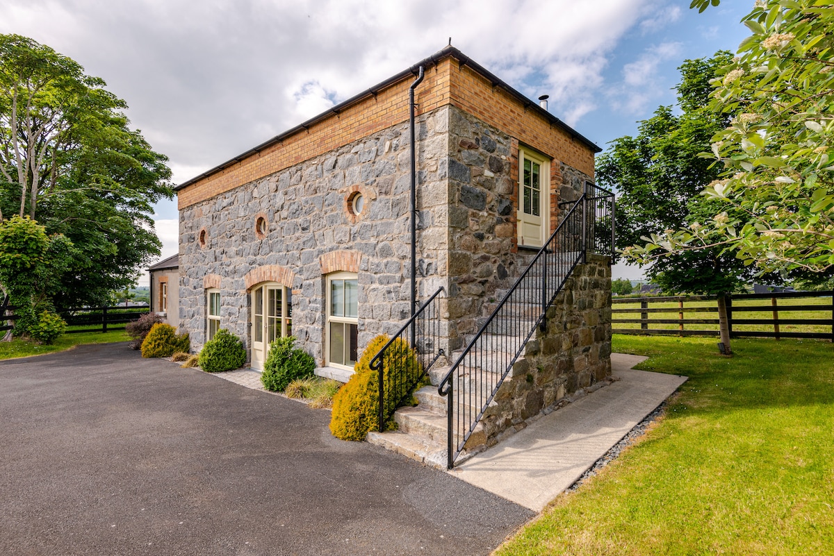 ENCLOSURE (destroyed) in CarnacavillENCLOSURE (destroyed) · 1.3 mi
 Black StairsWaterfall · 1.4 mi
Other information
Photo: Credit not shown in the picture search · Rights wording not checked; contact us if this picture should be removed